The Pacific Crest Trail crosses the USA from north to south over a distance of around 4,200 km. The “PCT”, as it is known for short, runs from the Mexican border in the south to the Canadian border in the north. It is located in the western part of the USA and takes the ambitious thru-hiker through the US states of California, Oregon and Washington.
The route of the Pacific Crest Trail
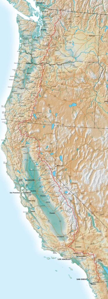
The trail usually starts in Campo, Southern California. From there, the trail mainly passes through National Forests and National Parks and, wherever possible, through protected wilderness. In general, the trail avoids civilization in favour of beautiful scenery and untouched mountain regions. In parts, the route is also identical to the approx. 340 km long John Muir Trail, which leads through the Sierra Nevada.
List of national parks to be crossed:
- Kings Canyon NP
- Yosemite NP
- Lassen Volcanic NP
- Crater Lake NP
- Mount Rainier NP
- North Cascades NP
The northern terminus of the trail is located in E.C. Manning Provincial Park in British Columbia, Canada.
The creation of the PCT
The route was first explored by young men from the YMCA in the late 1930s. Trail pioneers Clinton Clark and Warren Rogers lobbied the government to secure a trail corridor running from border to border. They first had to connect and pacify the many different trails along the ridges in the various states. This was largely only possible through the efforts of hikers and riders.
Authorized by Congress in 1968, the PCT was eventually slated to become one of the first Scenic Trails in the National Wilderness System, but was not included until 1993. More about the PCT’s past and its early visionaries can be found here.
The different sections of the Pacific Crest Trail
The PCT has 5 distinct sections, each with its own climate, geology, flora and fauna.
- Southern California
- Central California
- Northern California
- Oregon
- Washington
Information about the PCT
In addition to the documentary“Walking West” already presented here on Walking away and the book“Pacific Crest Trail – 4,277 km on foot from Mexico to Canada“, there are many other good sources of information, such as the English-language website of the Pacific Crest Trail Association.
Stages on the map
Stages
 Stage 1USA
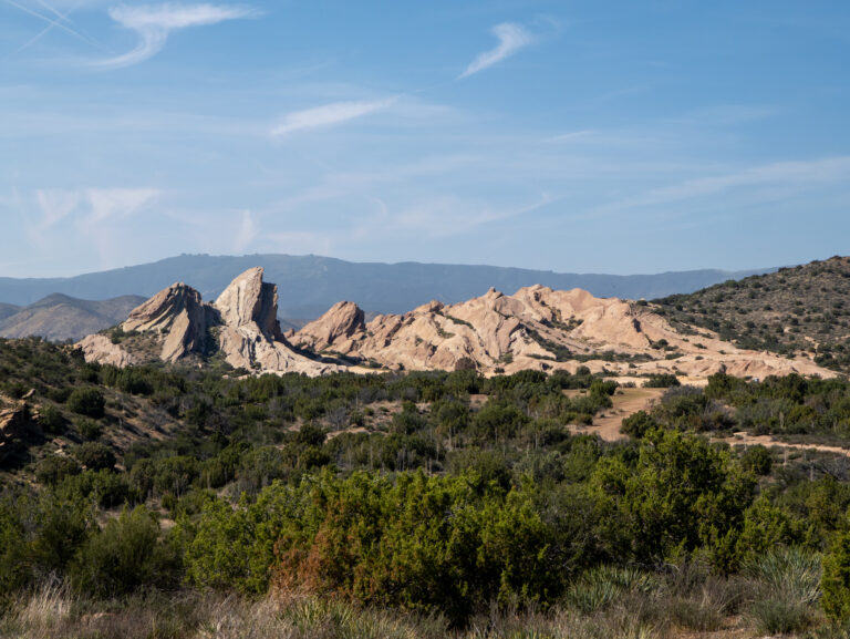
Our section hike on the Pacific Crest Trail: Stage 1 – From Acton to Agua Dulce
21.7 km750 m elev.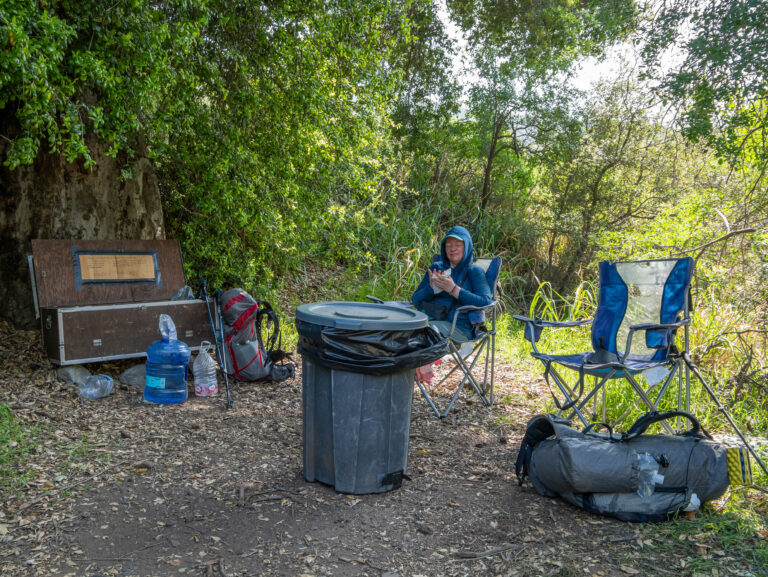 Stage 2USA
Our section hike on the Pacific Crest Trail: Stage 2 – Adventure in the fog
23 km1,010 m elev.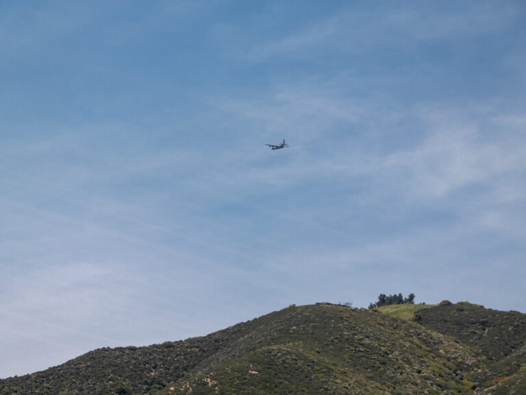 Stage 3USA
Our section hike on the Pacific Crest Trail: Stage 3 – beach feeling on the PCT
23 km682 m elev.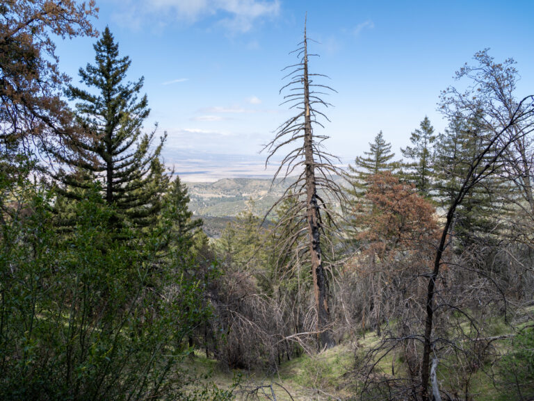 Stage 4USA
Our section hike on the Pacific Crest Trail: Stage 4 – Off the beaten track to Bear Campground
25.8 km1,389 m elev.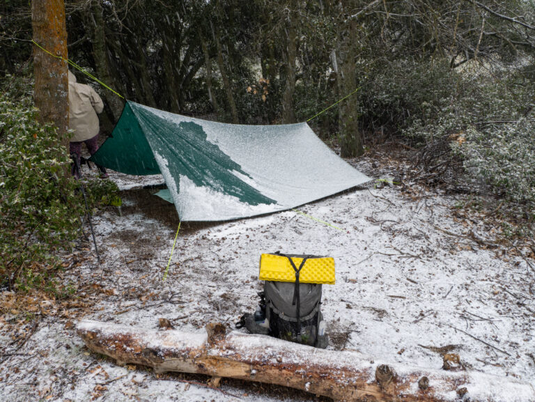 Stage 5USA
Our section hike on the Pacific Crest Trail: Stage 5 – Through the snow flurries to Hikertown
21 km608 m elev.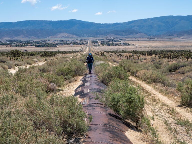 Stage 6USA
Our section hike on the Pacific Crest Trail: Stage 6 – Via the Los Angeles Aqueduct
25.2 km350 m elev. Stage 7USA
Our section hike on the Pacific Crest Trail: Stage 7 – Between wind turbines
20.6 km1,088 m elev.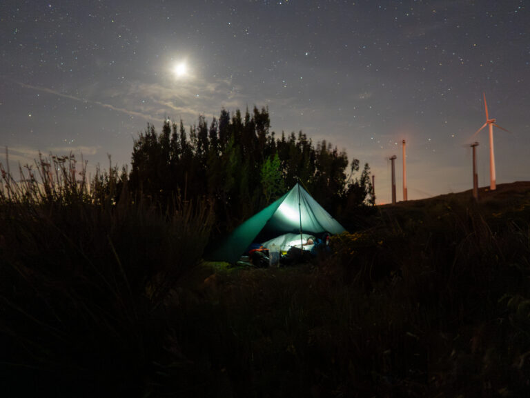 Stage 8USA
Our section hike on the Pacific Crest Trail: Stage 8 – The last night on the PCT
25.2 km892 m elev. Stage 9USA
Our section hike on the Pacific Crest Trail: Stage 9 – From dog sitter to hospital bed
8 km365 m elev.