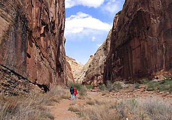
The trail climbs very steeply for the first 0.25 miles (0.4 km) from Fruita Campground (approx. 1660 m) into Cohab Canyon (approx.1760 m). The trail then moderately descends through the canyon with a turnoff to two viewpoints (approx.1790 m). The trail after the viewpoints is not that spectacular, so you won’t miss anything if you go back to the starting point, Fruita Campground, after the turnoff to the viewpoints.
The trail climbs very steeply for the first 0.25 miles (0.4 km) from Fruita Campground (approx. 1660 m) into Cohab Canyon (approx.1760 m). The trail then moderately descends through the canyon with a turnoff to two viewpoints (approx.1790 m). The trail after the viewpoints is not that spectacular, so you won’t miss anything if you go back to the starting point, Fruita Campground, after the turnoff to the viewpoints.
The trail there and back incl. the viewpoints is a. 5.2 km long. The complete trail to the end including the viewpoints is a. 7 km long.
More hikes
 Capitol Reef National Park · USA
Capitol Georg Wash Trail – Capitol Reef National Park in Utah, USA
3.5 km100 m elev.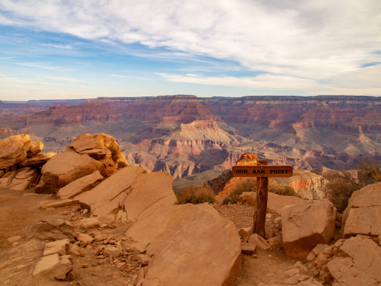 USA
Grand Canyon in one day – a dream come true
25 km1,400 m elev. USA
Our section hike on the Pacific Crest Trail: Stage 9 – From dog sitter to hospital bed
8 km365 m elev. USA
Our section hike on the Pacific Crest Trail: Stage 8 – The last night on the PCT
25.2 km892 m elev. USA
Our section hike on the Pacific Crest Trail: Stage 7 – Between wind turbines
20.6 km1,088 m elev. USA
Our section hike on the Pacific Crest Trail: Stage 6 – Via the Los Angeles Aqueduct
25.2 km350 m elev.