Here is the route as I recorded it in September 2010. Beyond that, however, there are various alternative routes you can take. As I mostly camped, the paths to the Tossals Verds and Muleta refuges are missing.
As 90 % of the mountain range in the north of Majorca is privately owned, the route can change regularly. Between Banyalbufar and Estellencs, for example, a landowner has currently decided not to let hikers cross his land. As a result you unfortunately now have to walk around 3 km on the road here.
128.2 km↑ 5,186 m↓ 5,126 m
The GPX track should be treated with caution, as I certainly took a wrong turn once or twice. So rely on your maps and common sense rather than on what I recorded.
More hikes
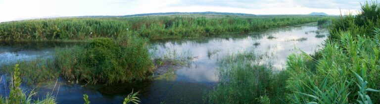 Majorca · Spain
Parque Natural S´Albufera de Mallorca
13 km10 m elev.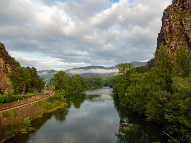 Asturias · Spain
Camino Primitivo – Section 2 – Paladin to Cornellana
18 km486 m elev.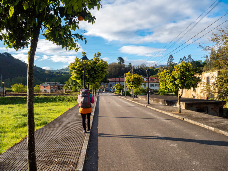 Asturias · Spain
Camino Primitivo – Section 3 – Cornellana to La Espina
20 km900 m elev.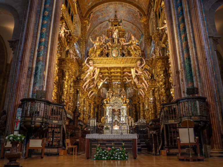 Galicia · Spain
Camino Primitivo – Section 15 – O Pedrouzo to Santiago de Compostela
20 km419 m elev.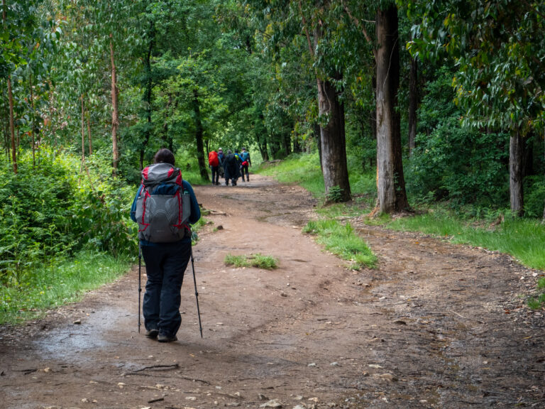 Galicia · Spain
Camino Primitivo – Section 14 – Arzúa – O Pedrouzo
20 km424 m elev.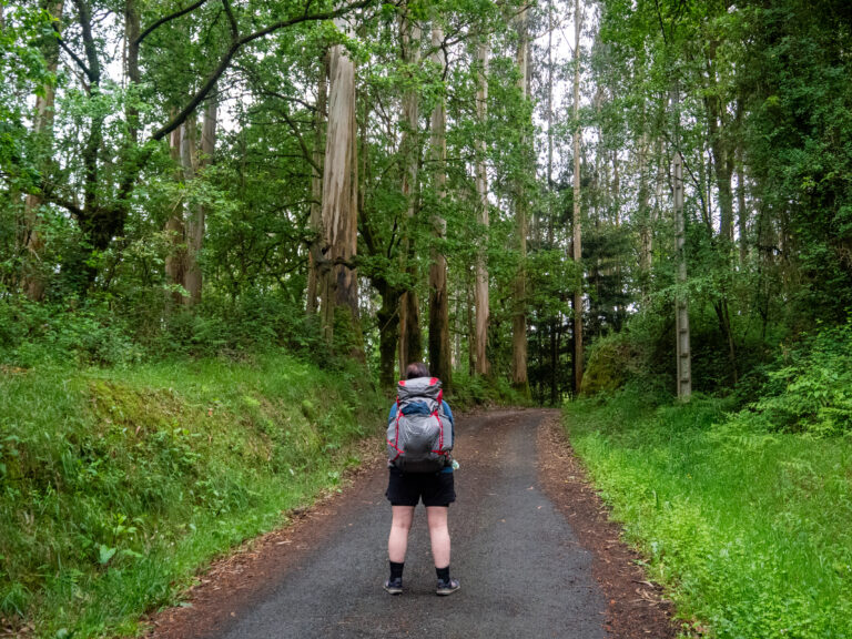 Galicia · Spain
Camino Primitivo – Section 13 – Melide to Arzúa
13 km323 m elev.