
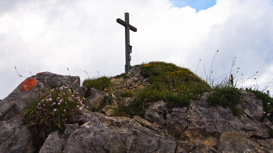
The Scheinbergspitze (1,926 m) is one of the mountains in the Ammergau Alps that can be reached via a relatively easy ascent without much risk. That is probably also why the hike is quite popular and anything but a hidden gem.
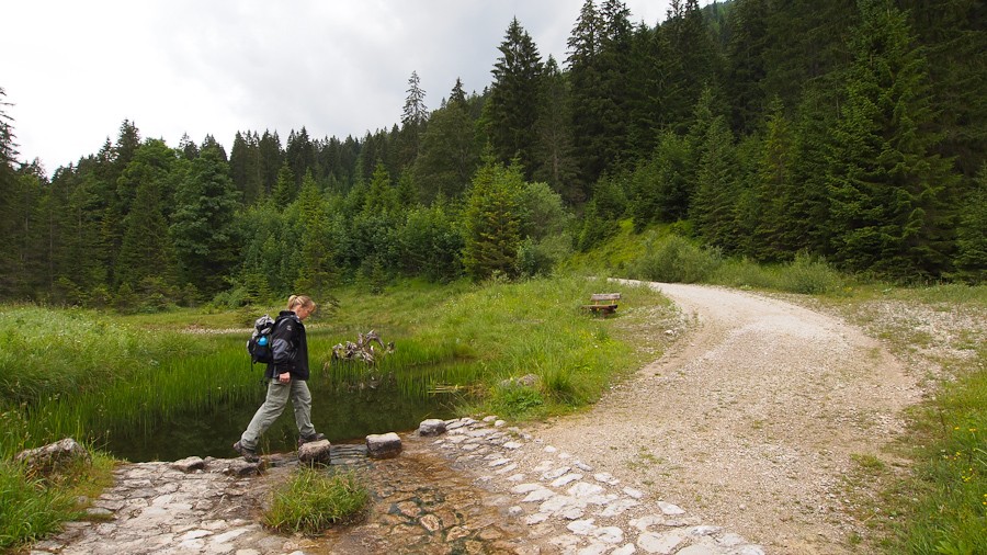
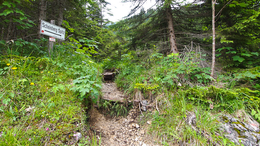
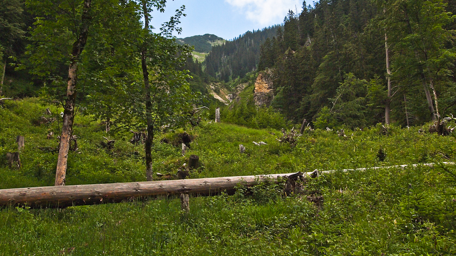
The starting point is on the road from Oberau to Reutte in Austria, where you can leave your car in the small roadside car park. From there, a wide gravel track first leads gently up the mountain. After a few minutes you reach the clearly visible turn-off to the Scheinbergspitze. From there the hike continues on a narrow path, crossed by plenty of roots, through tall forest. Because of all the trees, you only rarely get the chance to take a closer look at the surrounding landscape.
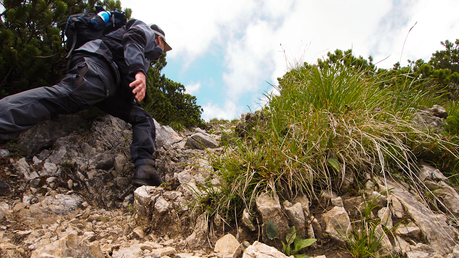
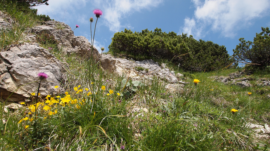
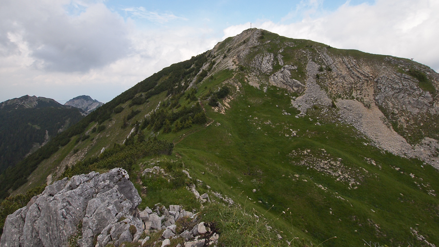
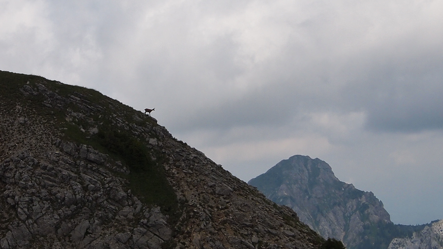
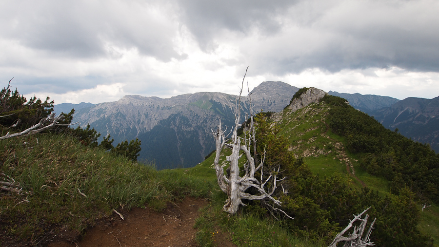
Once the path leaves the tall forest shortly before the summit and is lined at first by low dwarf pines, the view is all the better. On the last stretch you may need to use your hands to make progress, as the path is quite steep and rocky in short sections. You reach a subsidiary summit, from which you get your first view of the summit cross of the Scheinbergspitze. Only a few metres now separate us from the summit, which offers a great view of the surrounding mountains.
Details
- Length: approx. 7 km (there and back)
- Start: Scheinberg car park on the Ammerwaldstraße from Oberau to Reutte in Austria, approx. 6 km past Linderhof Palace
- Duration: approx. 4 hrs (2:15 ascent, approx. 1.5 hrs descent)
- Stamina: low to medium
- Difficulty: easy
- Risk: low
- Ascent/descent: approx. 850 m
- Special notes: the many roots make the forest section a little slippery when wet
- Tip: start early – the trail is very popular, especially at weekends
Map and GPS data
Pictures


Maps
More hikes
 Ammergau Alps · Germany
Hiking up the Wank (1,780 m) near Garmisch-Partenkirchen
12 km1,050 m elev. Ammergau Alps · Germany
Brünstelskopf – Enningalm
18 km1,200 m elev. Harz Mountains · Germany
Wildemann Hiking Pin – 23 km Circular Hike with 4 Stamp Points
23 km700 m elev. Harz Mountains · Germany
Between Eselsplatz and Kuckholzklippe – A Stamp Point Loop near Lerbach
14 km618 m elev. Harz Mountains · Germany
Ehemalige Steinmühle – Harzer Wandernadel Stamp Point 96
6 km222 m elev. Harz Mountains · Germany
Bad Lauterberg Circular Hike: Six Stamps, Plenty of Climbing
27 km1,261 m elev.