
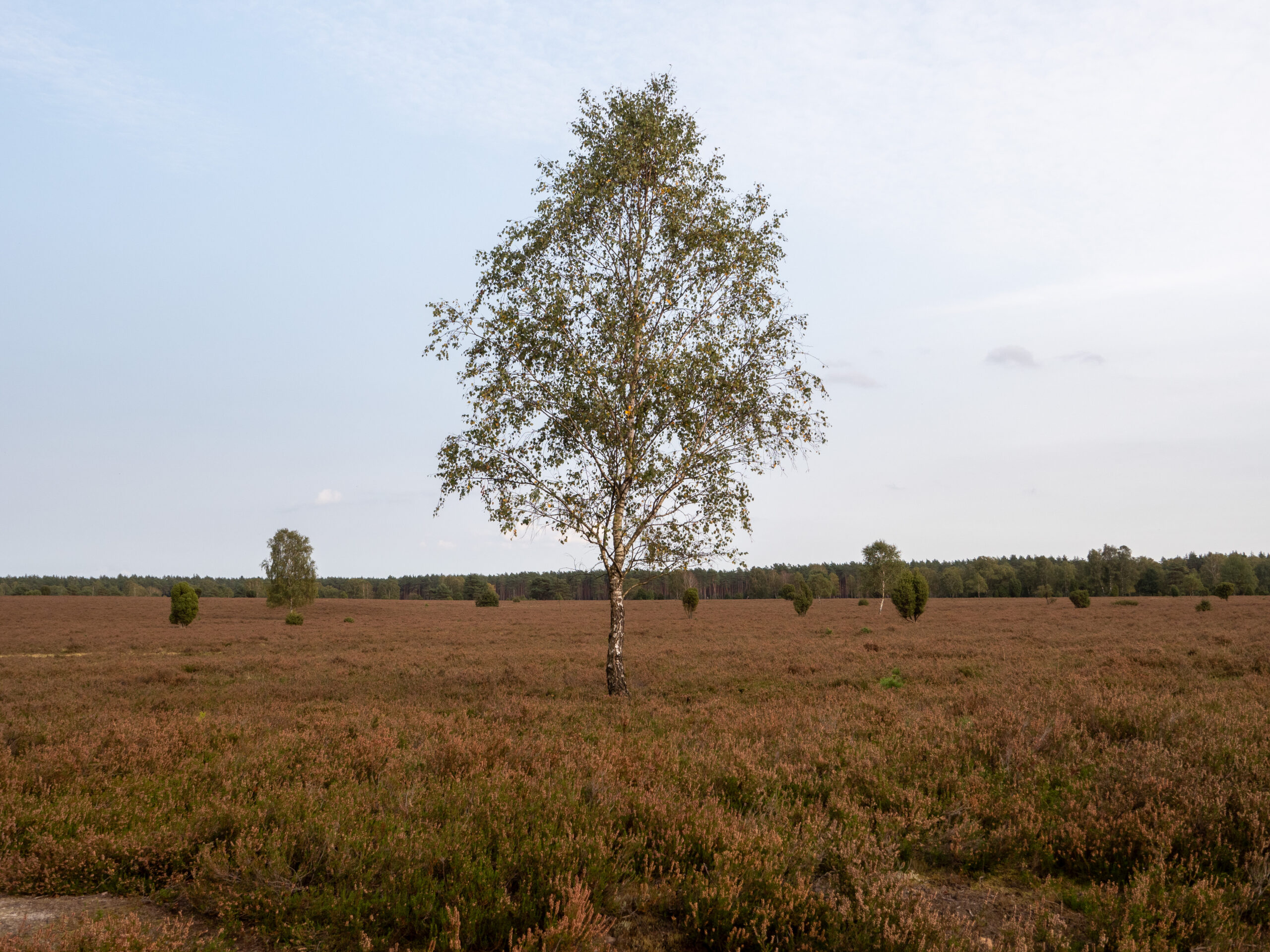
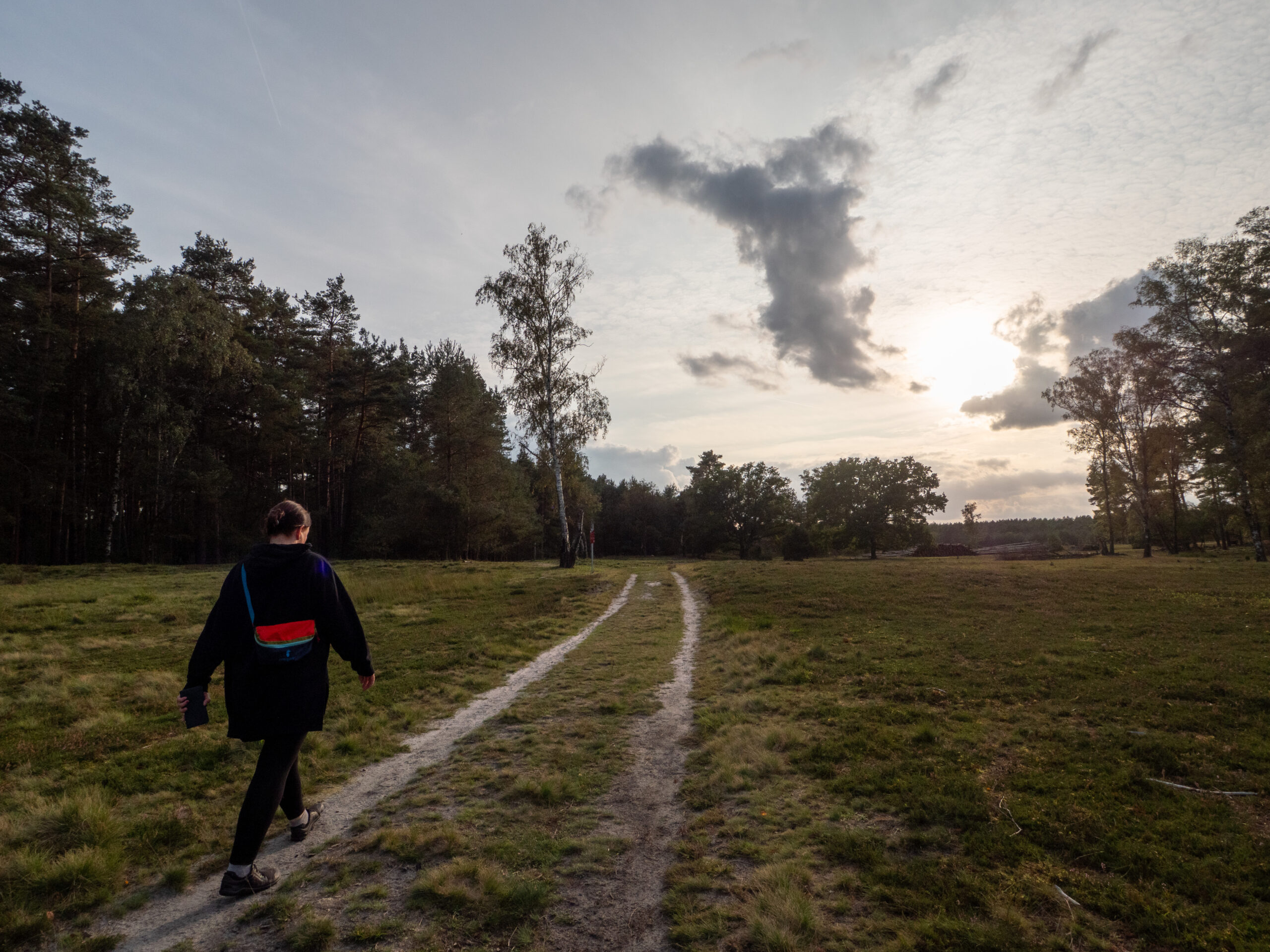
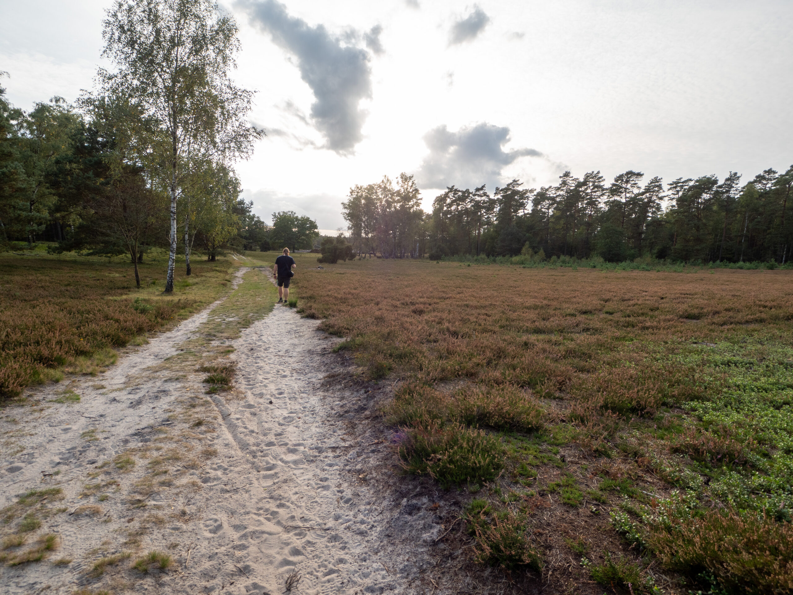
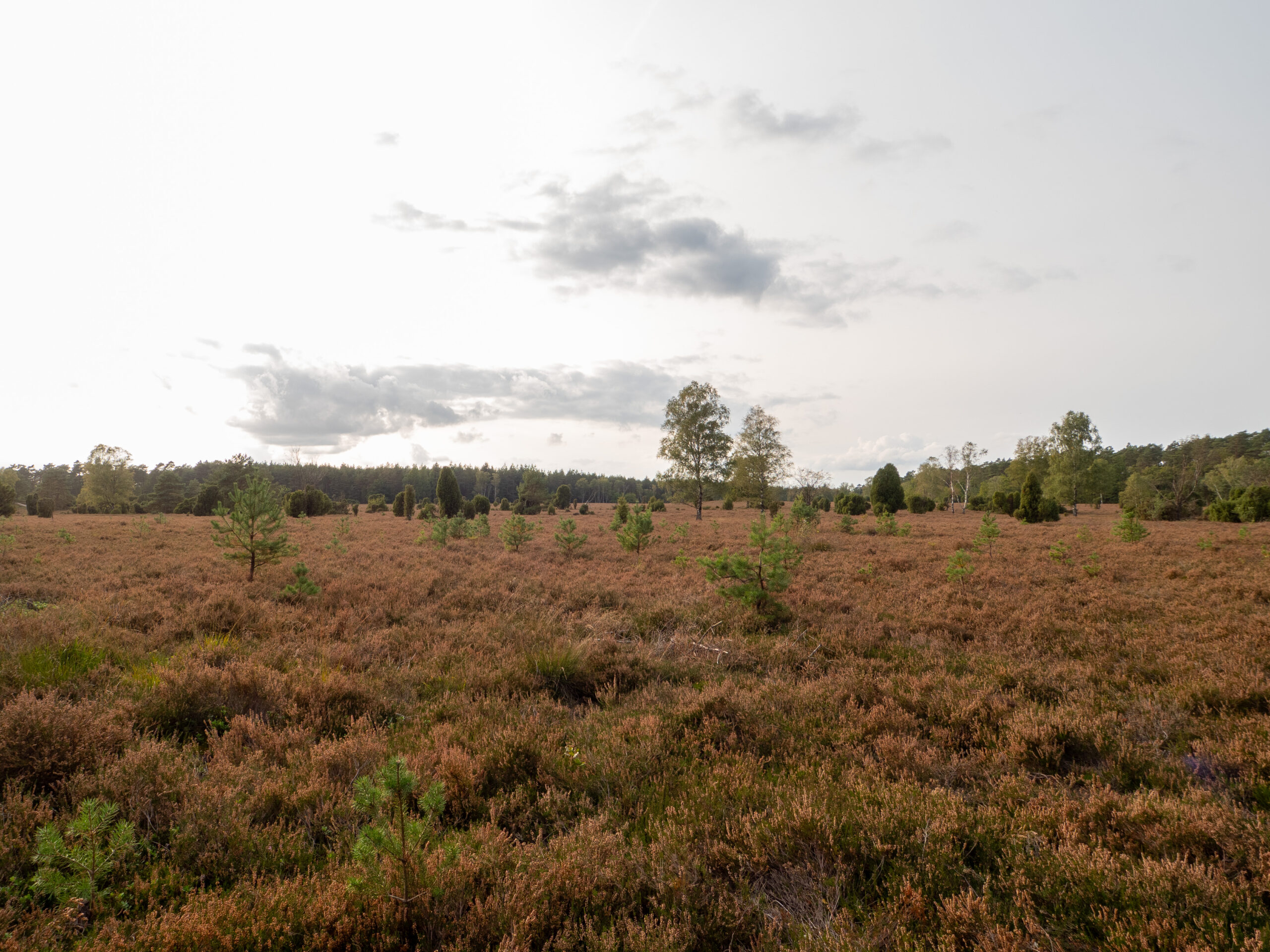
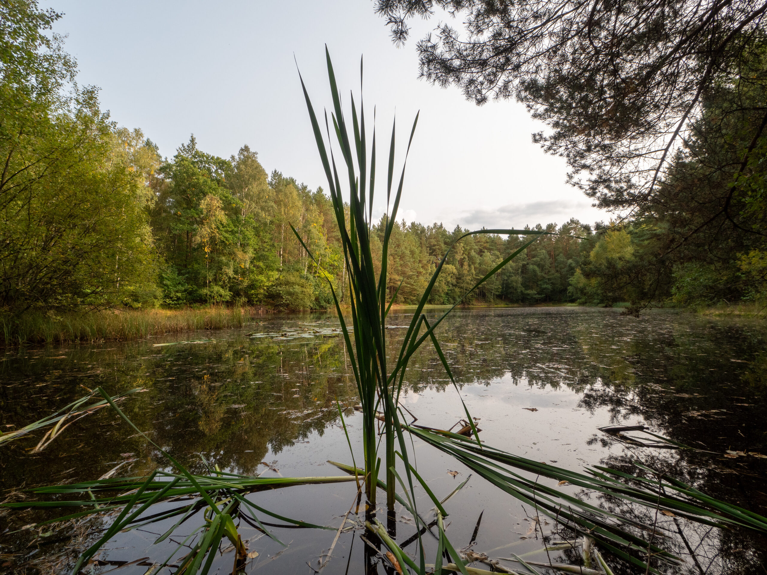
The evening before our hike on the Heidschnucken Trail, we spent the night in our little Caddy in the parking lot in Oberohe. As there was still some time left before the sun went down, we explored the area. Three hiking trails started right at the parking lot, and we chose the short 3.2 km route of the W5 circular hiking trail, which led towards Neuohe through wide expanses of heath and bristle grassland, past scattered birch forests reminiscent of hut forests. The effects of diatomaceous earth mining soon became visible, recognizable by the depressions in the heath landscape.
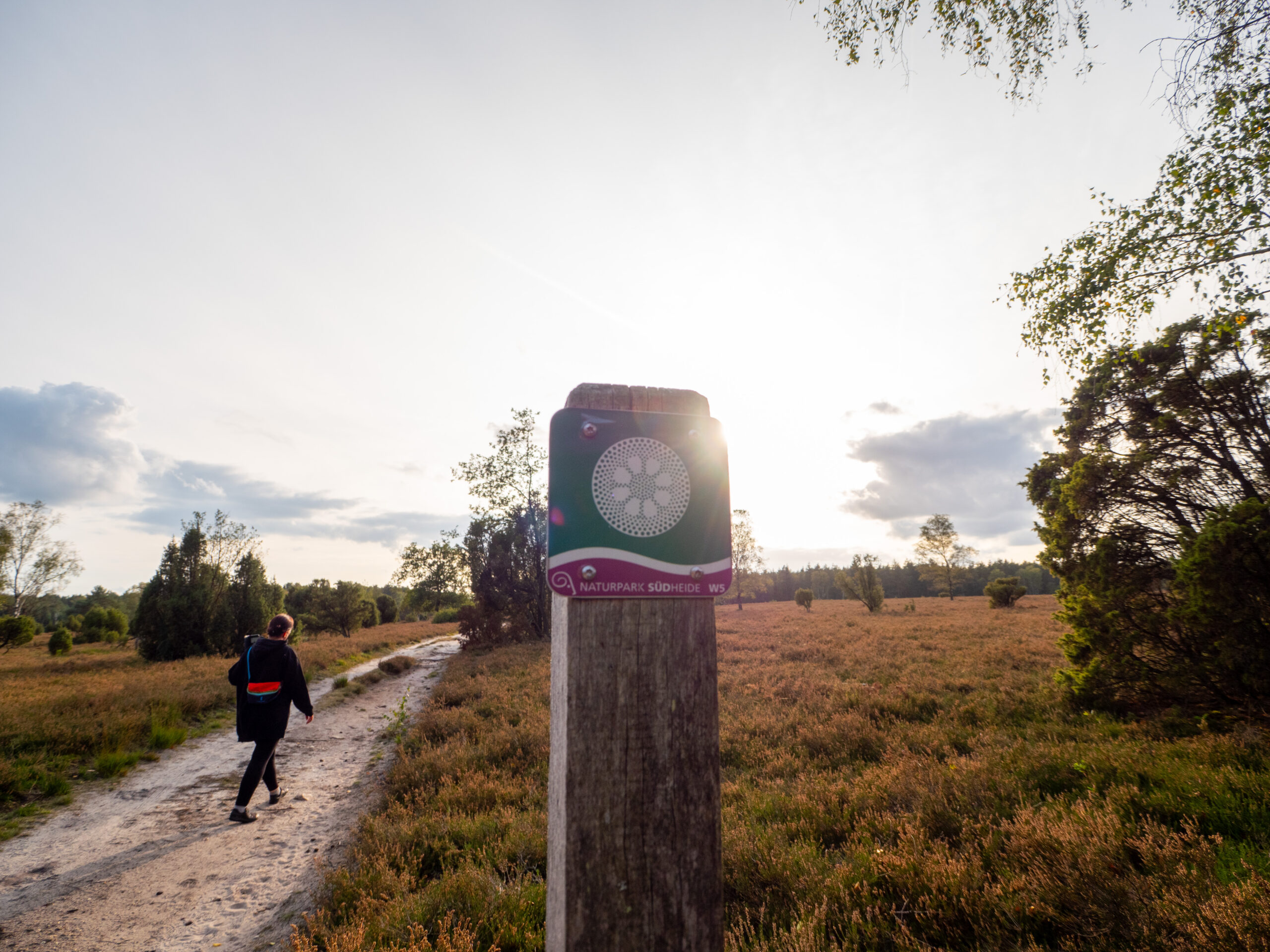
The path continued through the vast heathland of the Kochsöhlen and led to some former diatomaceous earth pits, reminiscent of lakes in Scandinavia.the short route is marked by a pictogram with a small green circle.
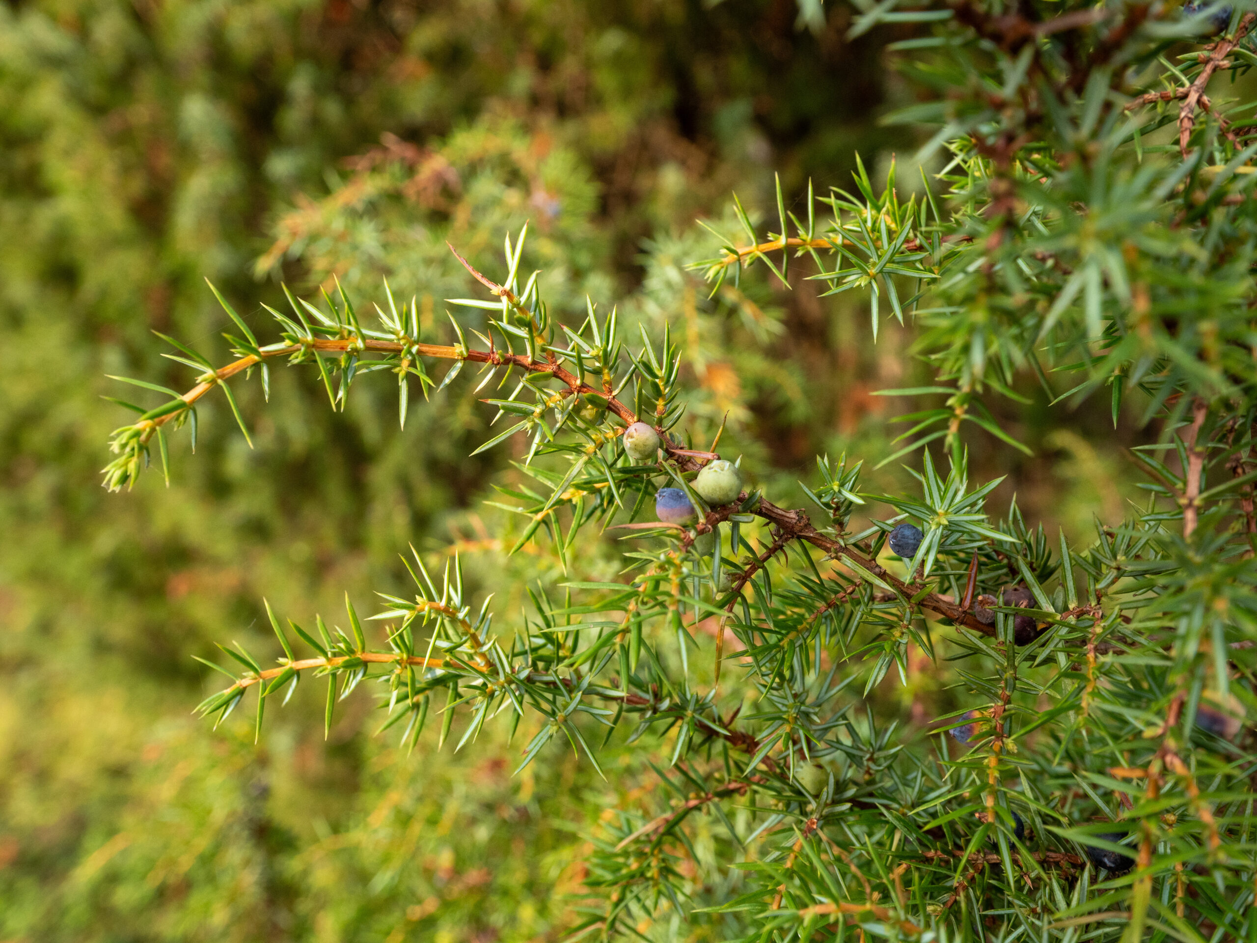
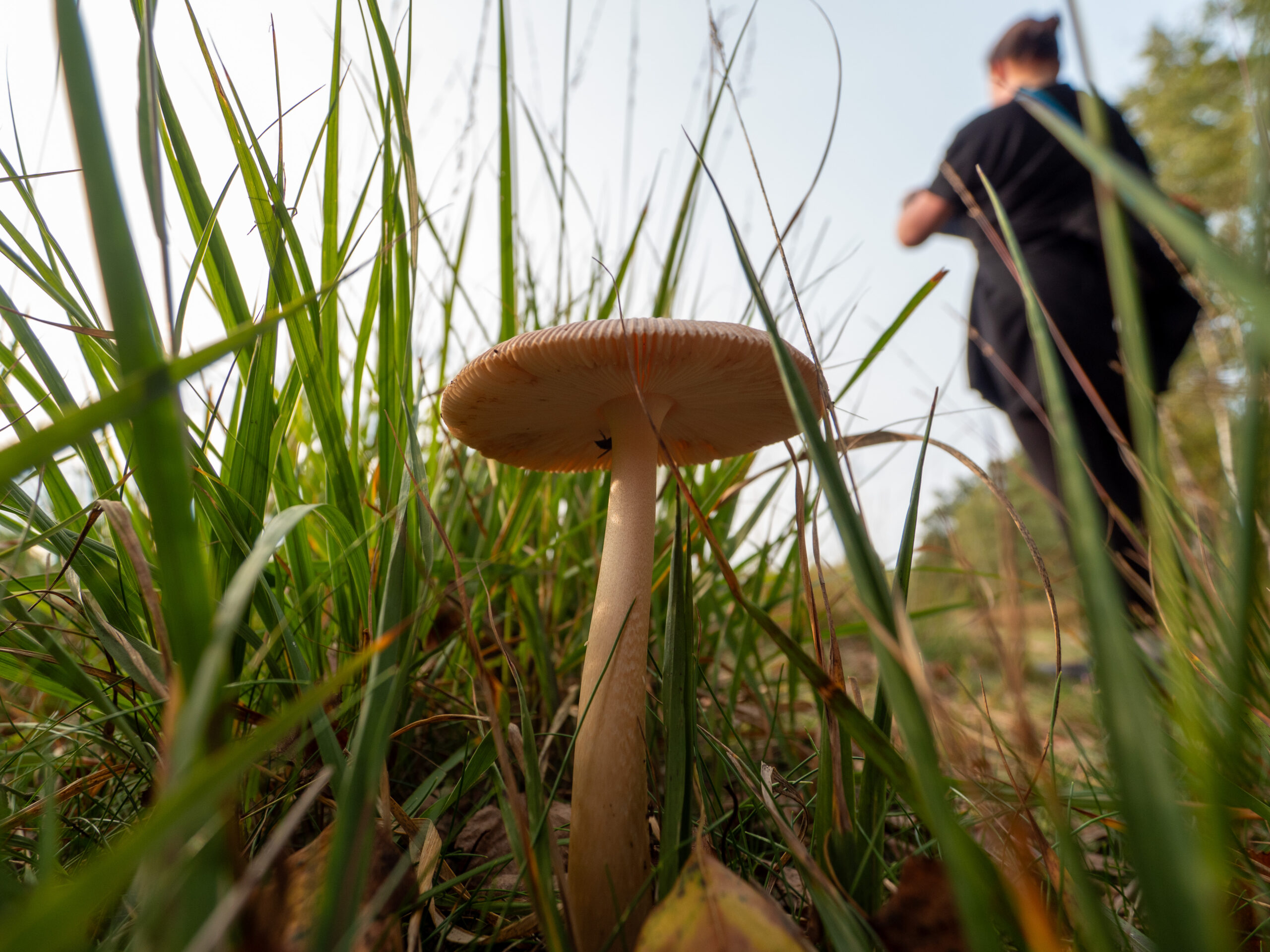
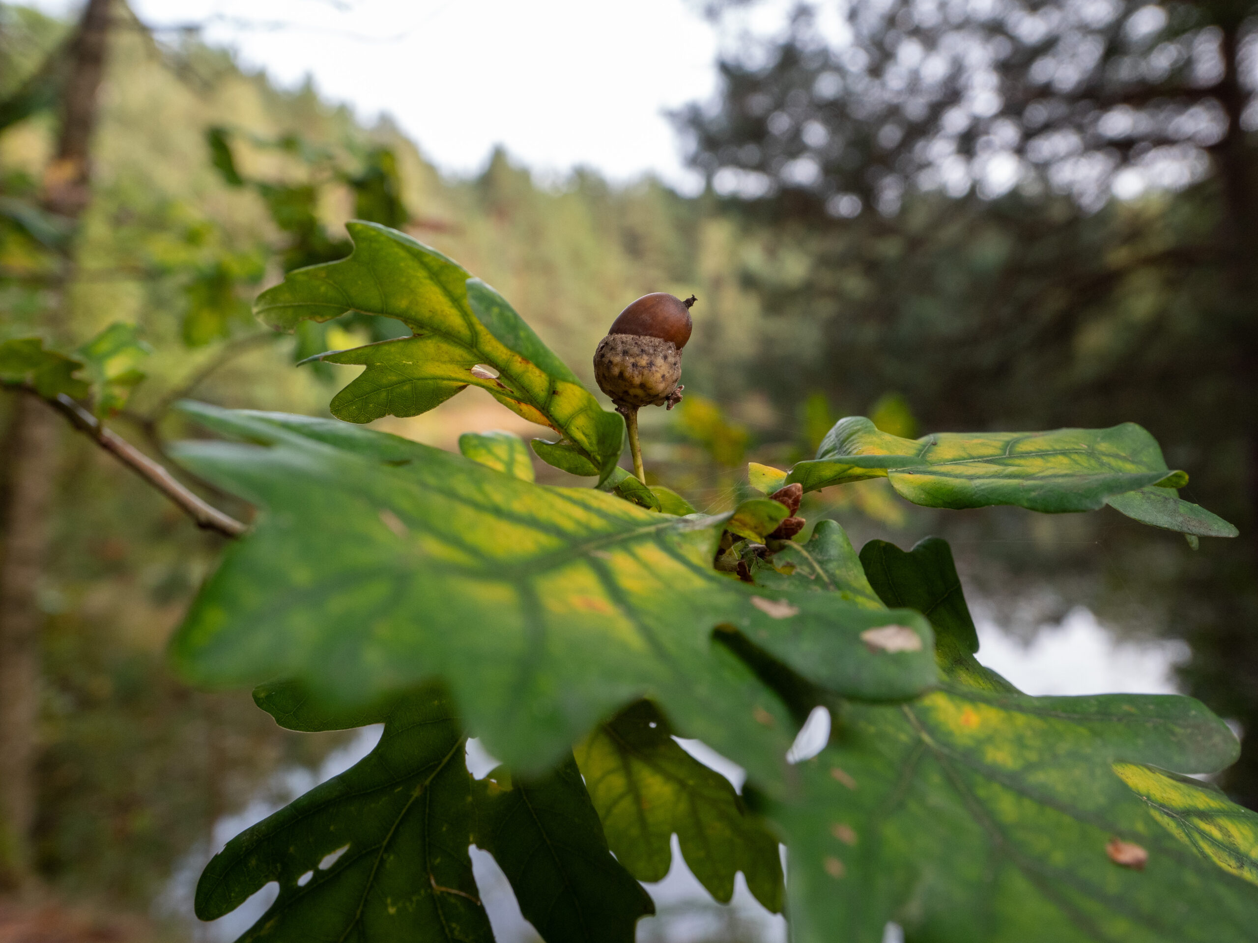
Photos of the hike in the Lüneburg Heath




More hikes
More hikes
 Lüneburg Heath · Germany
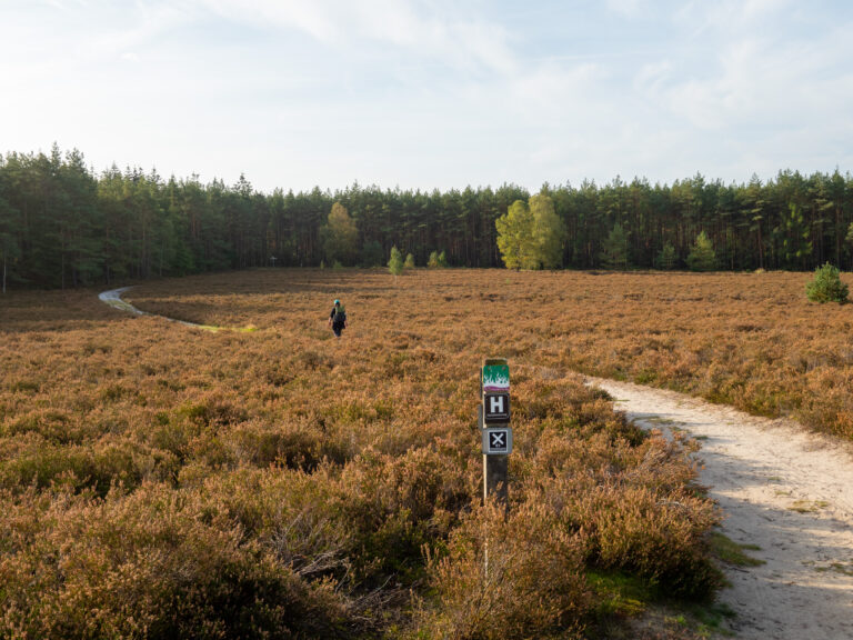
Heidschnuckenweg – Stage 12 1/2 – From Dehningshof to Misselhorner Heide
13.1 km119 m elev.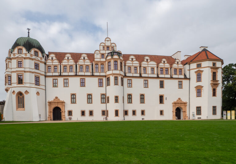 Lüneburg Heath · Germany
Heidschnuckenweg – Stage 13 – Hike from Celle to Dehningshof
27 km30 m elev.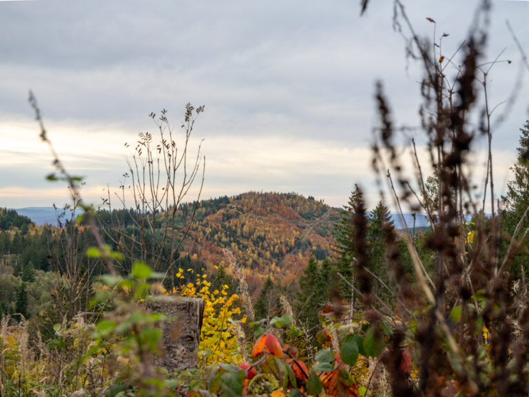 Harz Mountains · Germany
Wildemann Hiking Pin – 23 km Circular Hike with 4 Stamp Points
23 km700 m elev. Harz Mountains · Germany
Between Eselsplatz and Kuckholzklippe – A Stamp Point Loop near Lerbach
14 km618 m elev. Harz Mountains · Germany
Ehemalige Steinmühle – Harzer Wandernadel Stamp Point 96
6 km222 m elev.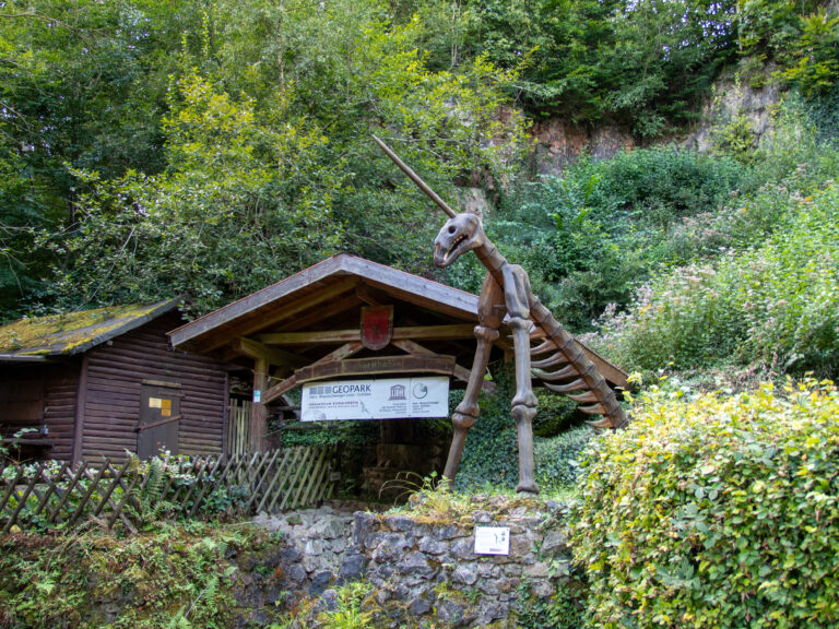 Harz Mountains · Germany
Bad Lauterberg Circular Hike: Six Stamps, Plenty of Climbing
27 km1,261 m elev.