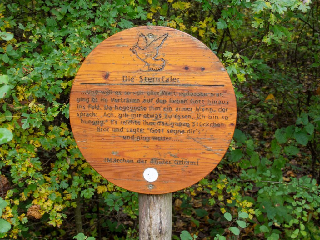
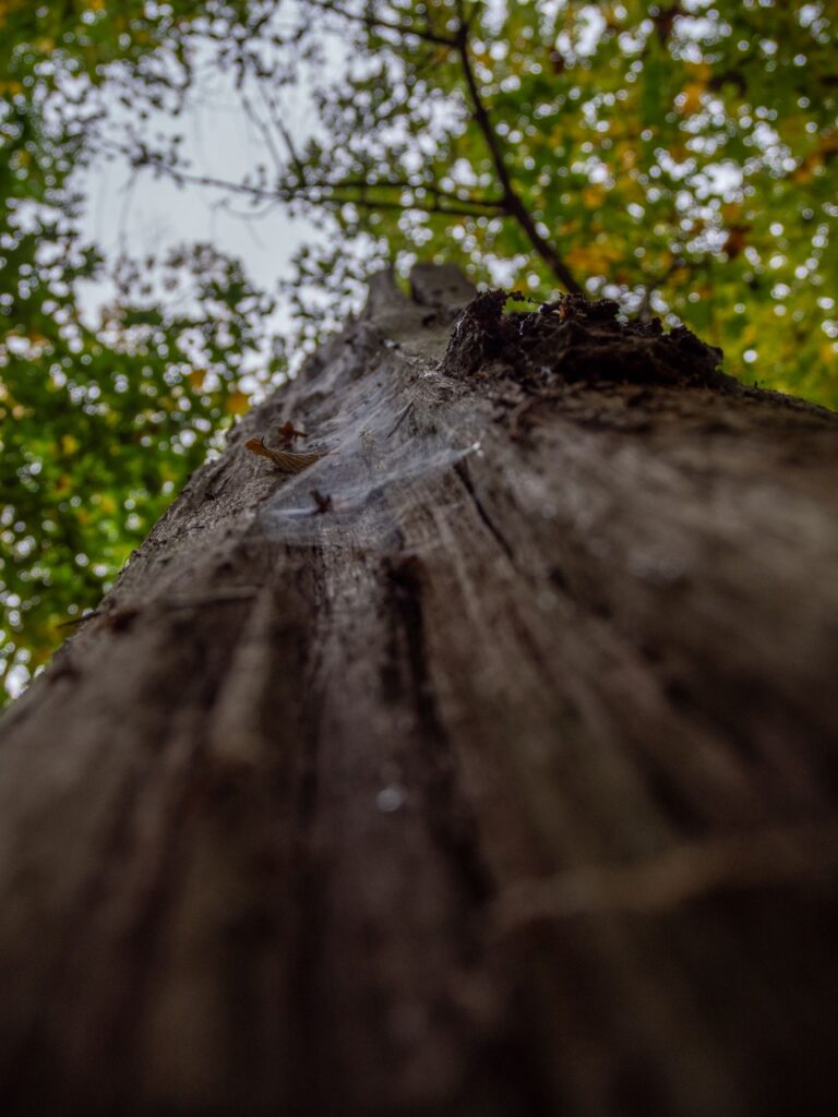
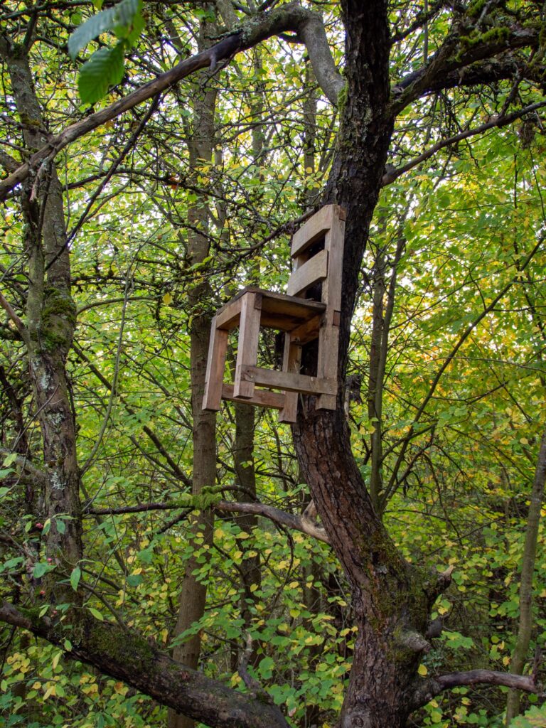
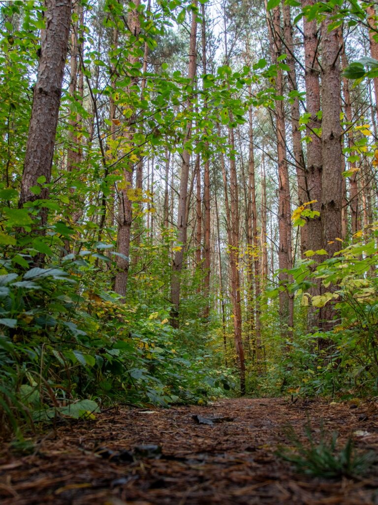
The Fairy Trail is a 2.5-kilometre hiking trail with a total of 14 stations where natural wonders, fairy tale quotes and small tasks await you. These stations are keys to the hidden secrets of the trail. Let yourself be enchanted and discover the mystical power of the Hainich Forest – protected and accompanied by the fairy godmother Frau Holle, who once watched over the forests as a fairy queen.
Practical information
Nature and fairy tales – a journey back to your own childhood
The Hainich Forest evokes memories of carefree days in nature, fairy tales and mysterious encounters. This special trail leads right into the heart of this dream world. Fairy tales originate from a time when man was one with nature and honored its mysterious power. On the Fairy Trail, you can rediscover this feeling – a journey to yourself and your own inner strength.
Stations full of secrets and adventure
Details of the hike
- Length: 2.5 km
- Difficulty level: easy
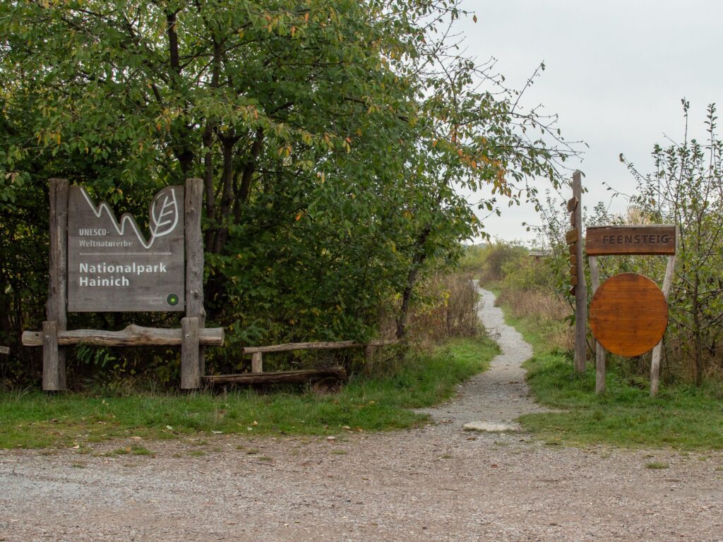
- Starting point: Hiking parking lot “Weberstedt”, directly at the WaldResort am Nationalpark Hainich
- Address: WaldResort am Nationalpark Hainich, Hainichstraße 5-11, 99947 Weberstedt
Be enchanted by the fairy trail
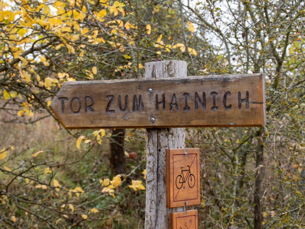
Follow the little dove on this fairytale trail and be surprised by the small and large wonders that await you along the way. The Fairy Trail invites you to experience nature in a new way and to indulge in the ancient fairy tales that live on in each of us.


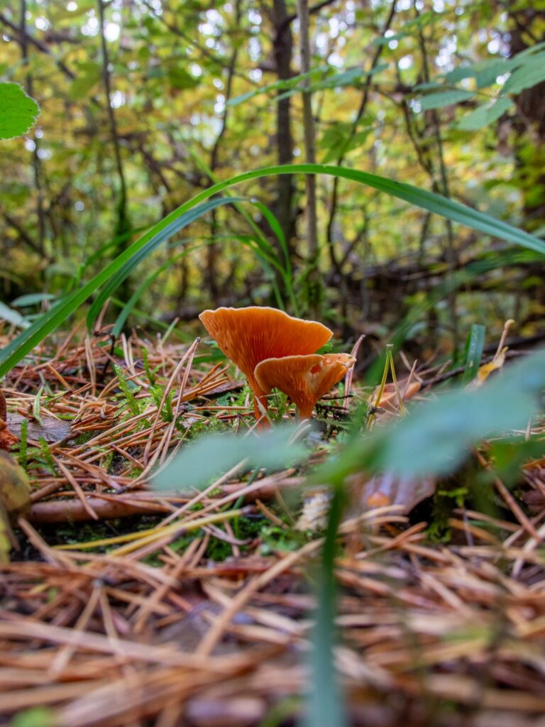
More hikes
 Hainich National Park · Germany
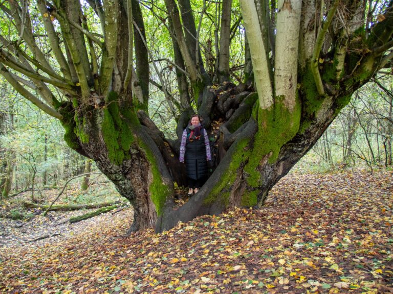
The Silberborn adventure trail – discovery tour through Alruna’s forest
2.8 km100 m elev.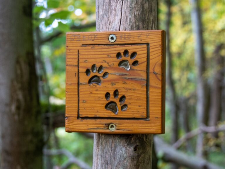 Hainich National Park · Germany
Searching for clues in the Hainich – The path of the wildcats
1.5 km10 m elev.- Hainich National Park · Germany
Hiking at the Hünenteich – On a discovery tour in the Hainich National Park
5.5 km10 m elev. 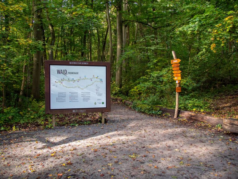 Hainich National Park · Germany
Stroll along the forest promenade
1.2 km27 m elev. Harz Mountains · Germany
Wildemann Hiking Pin – 23 km Circular Hike with 4 Stamp Points
23 km700 m elev. Harz Mountains · Germany
Between Eselsplatz and Kuckholzklippe – A Stamp Point Loop near Lerbach
14 km618 m elev.