
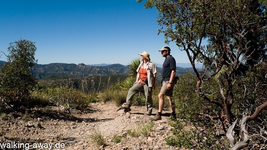
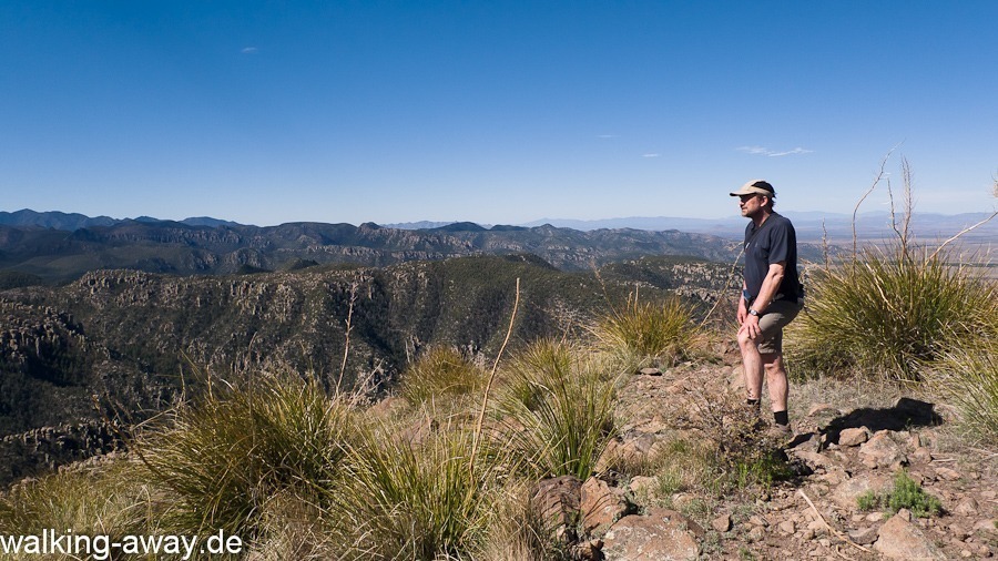
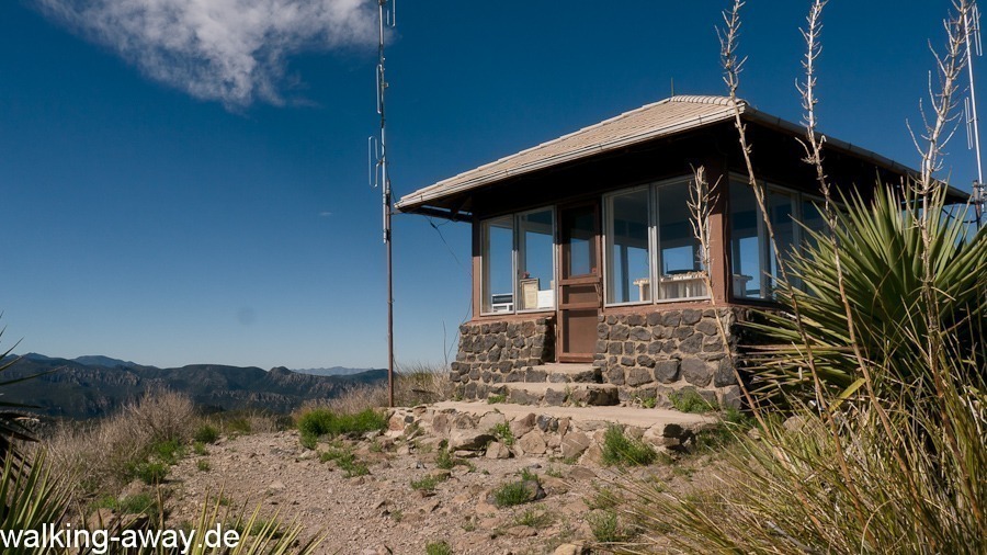
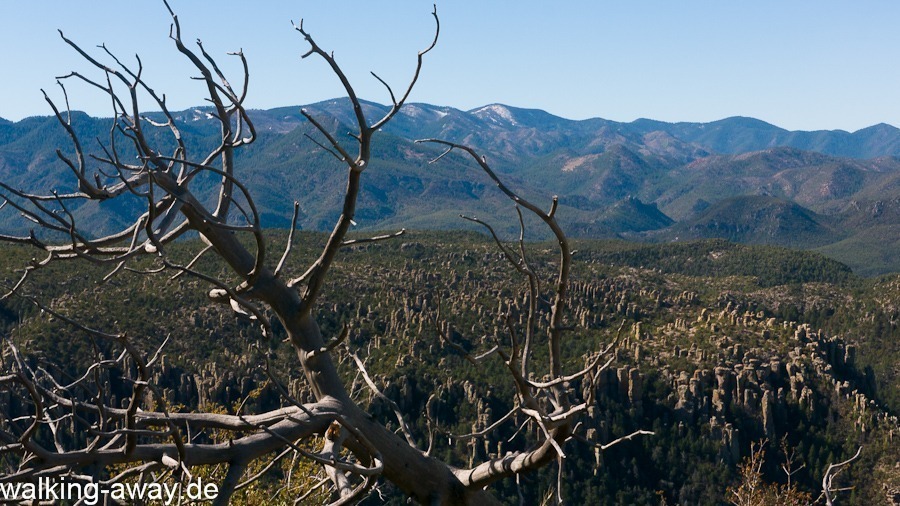
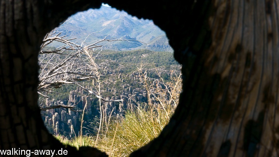
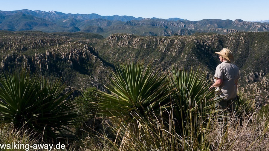
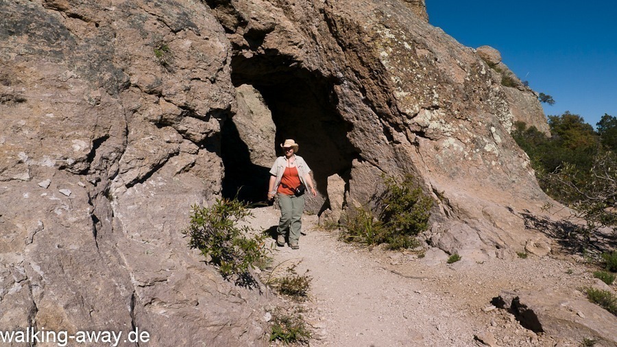
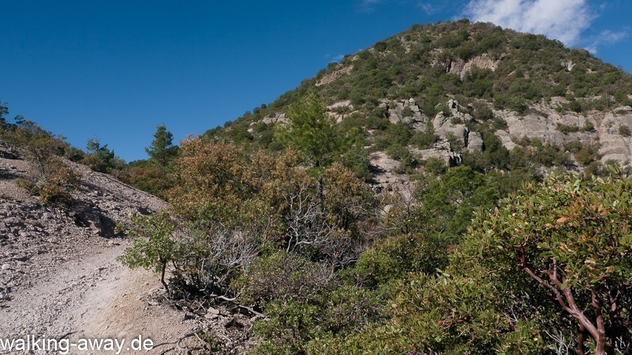
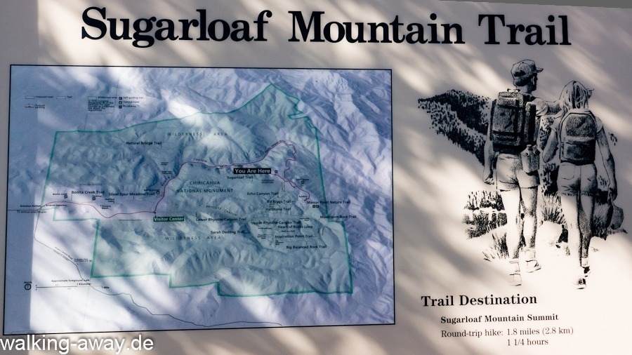
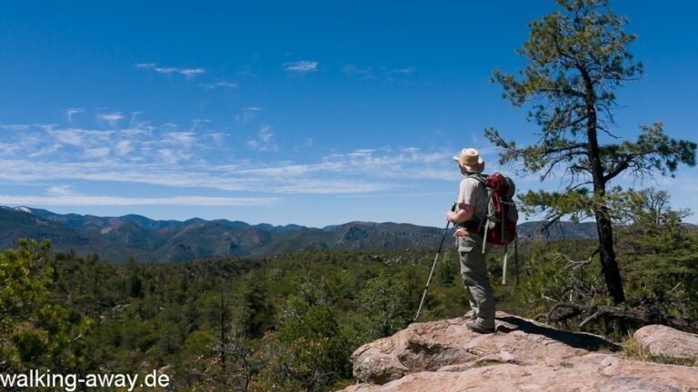
Short one way trail to the top of the namesake 2,228 m Sugarloaf Mountain in Chiricahua National Monument (in southwestern Arizona, USA). From the mountain you have an excellent panoramic view over the surrounding Chiricahua Wilderness and down into the “Wonderland of Rocks”. With good visibility, you can see all the way to the Dragoon Mountains, the last retreat of the Chiricahua Apache. The trail is well maintained and easy to walk.
The view reaches the last retreat area of the Apaches
The starting point of this hike is reached by a spur road that branches off Scenic Drive to the right to the Sugarloaf Mountain Parking Area. The well-maintained trail leads to the 2,228-foot Sugarloaf Mountain Fire Lookout.
From this highest elevation in the park, one has an impressive panoramic view of the surrounding Chiricahua Wilderness. The trail is very nicely laid out and well maintained. Only the last part, the 143 meter difference in altitude, is a bit steeper.
More hikes
 Chiricahua National Monument · USA
Big Loop Trail – Chiricahua National Monument in Arizona, USA
15.8 km640 m elev.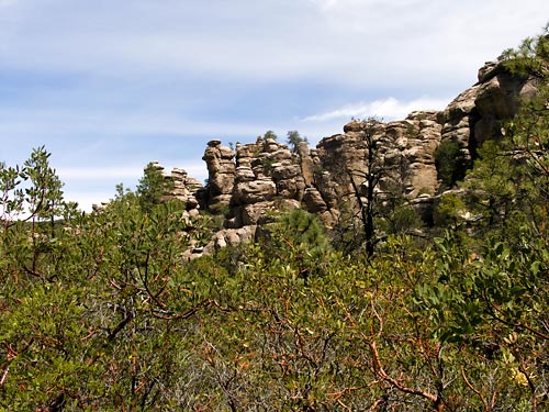 Chiricahua National Monument · USA
Natural Bridge Trail – Chiricahua National Monument in Arizona, USA
7 km131 m elev. Chiricahua National Monument · USA
Heart of Rocks – Chiricahua National Monument in Arizona, USA
5 km170 m elev.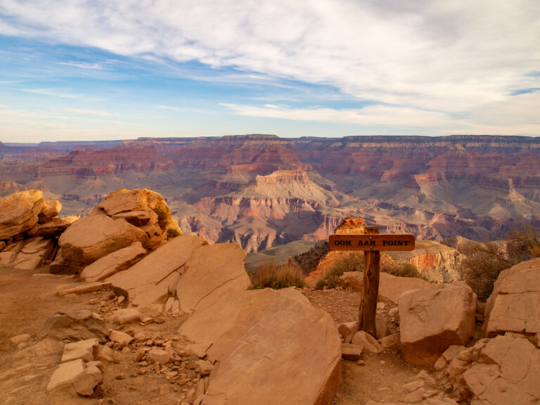 USA
Grand Canyon in one day – a dream come true
25 km1,400 m elev. USA
Our section hike on the Pacific Crest Trail: Stage 9 – From dog sitter to hospital bed
8 km365 m elev.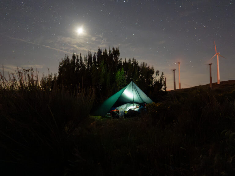 USA
Our section hike on the Pacific Crest Trail: Stage 8 – The last night on the PCT
25.2 km892 m elev.