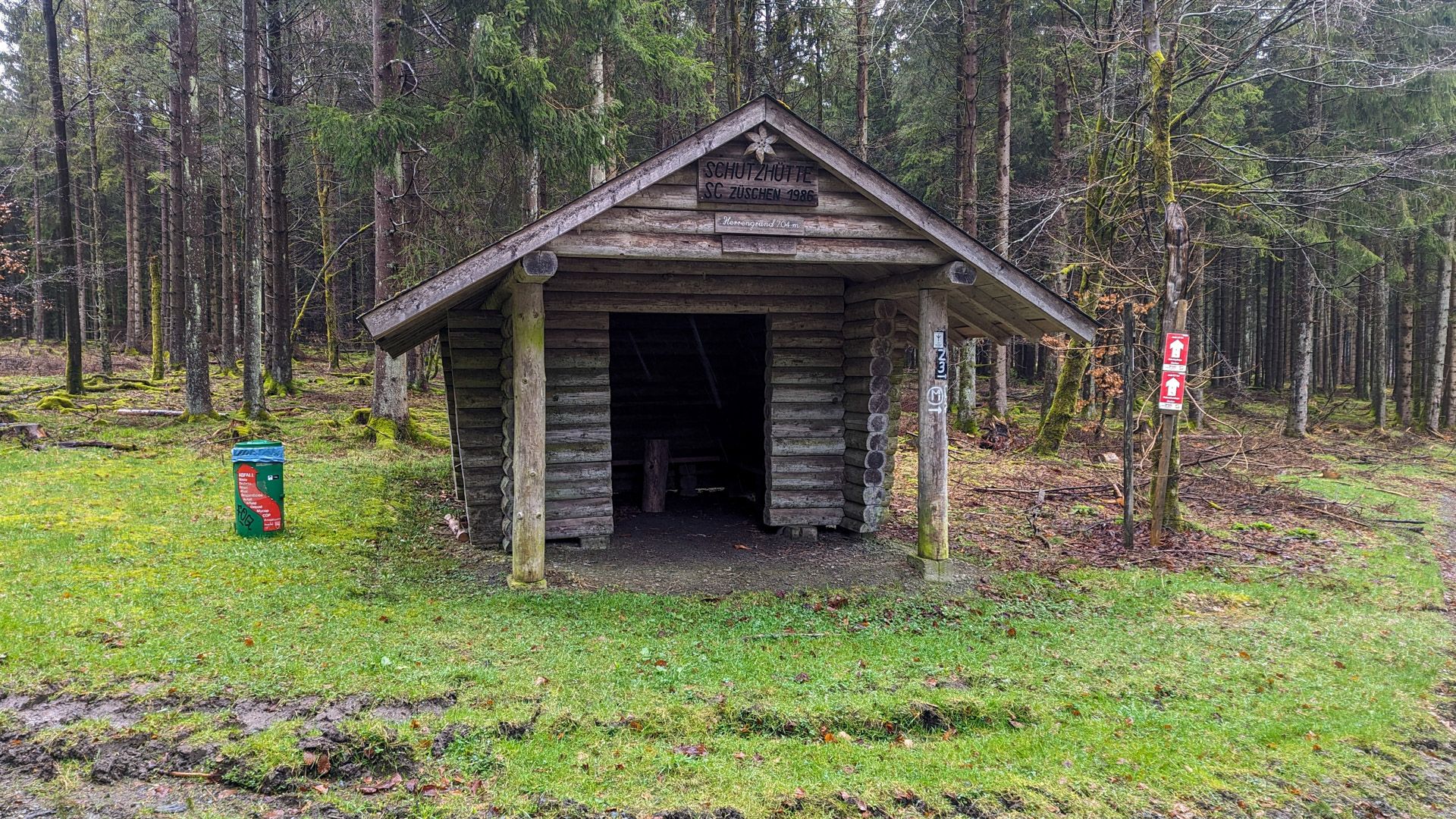
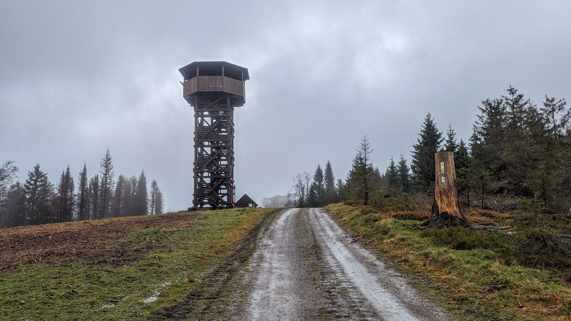
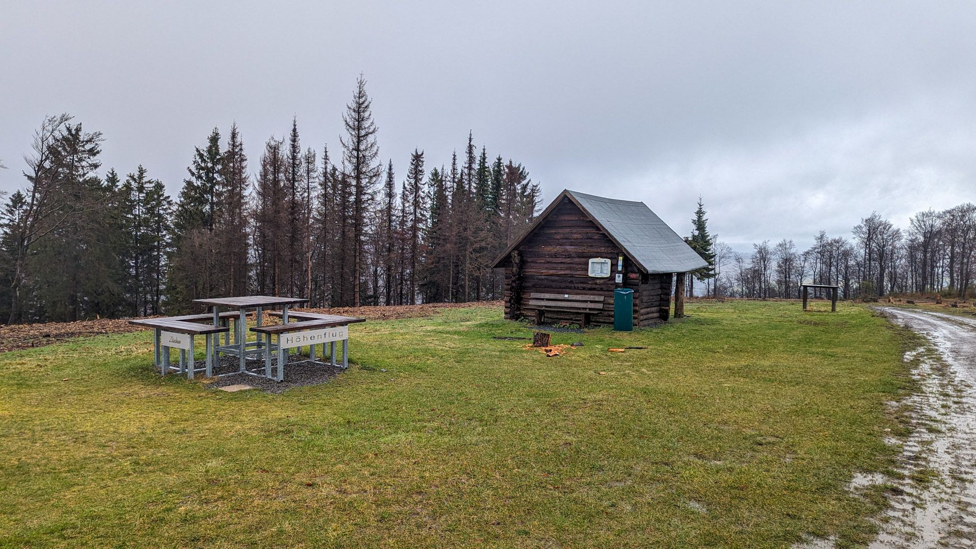
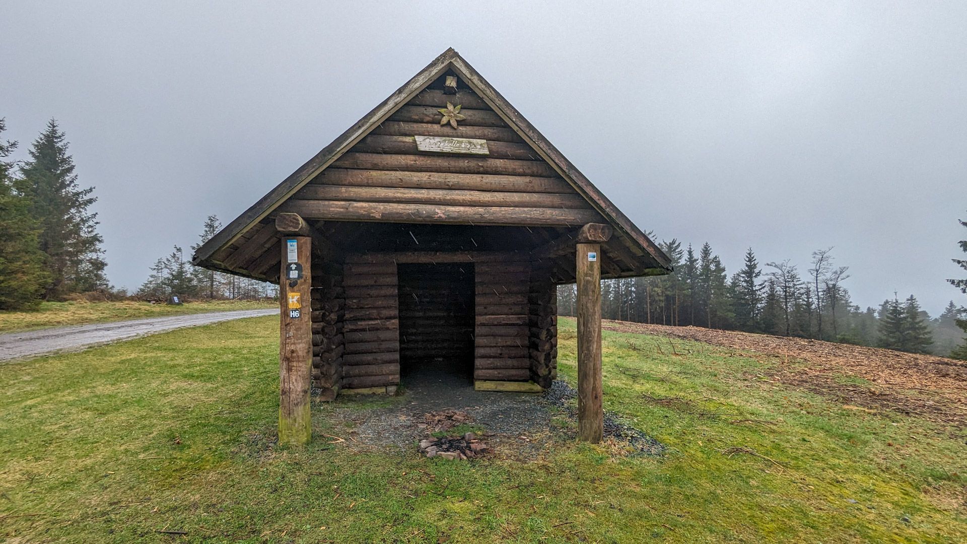
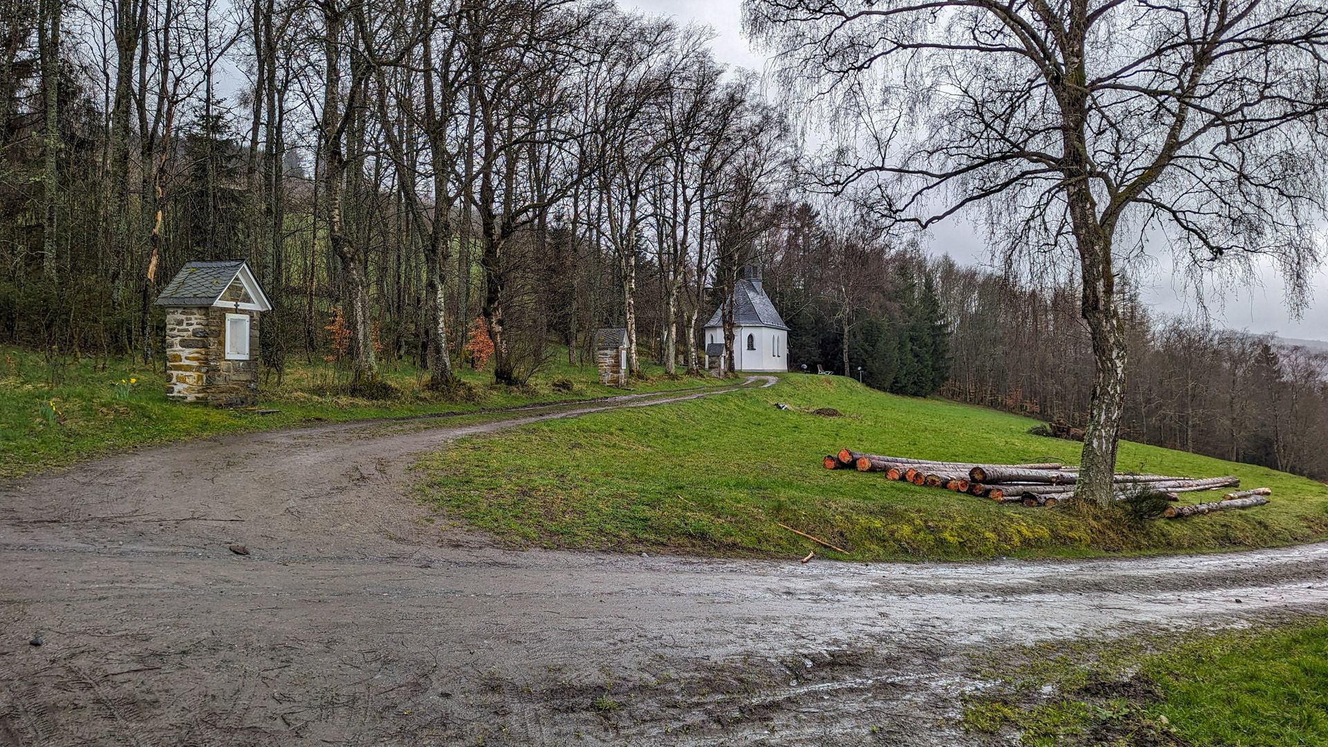
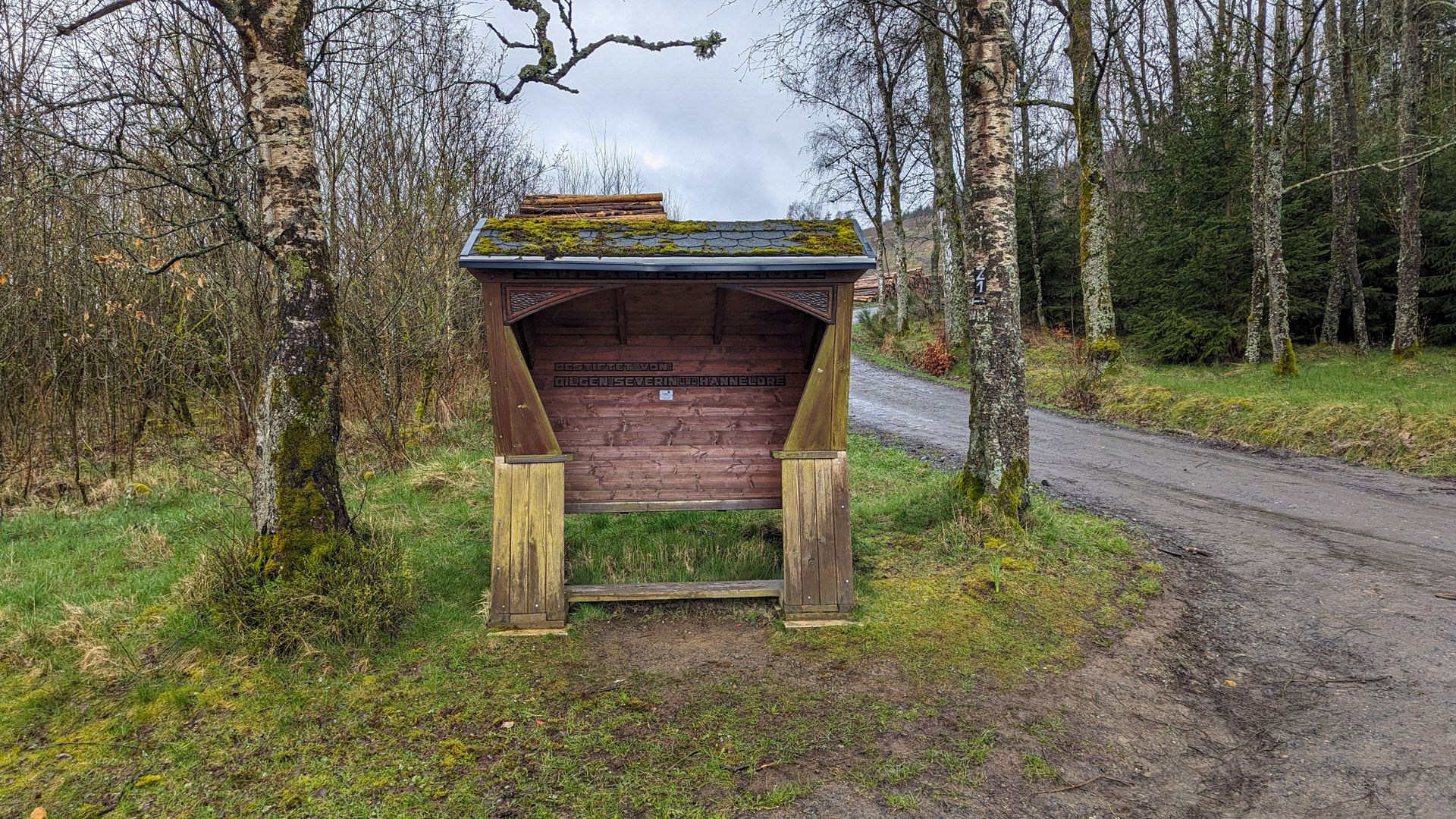
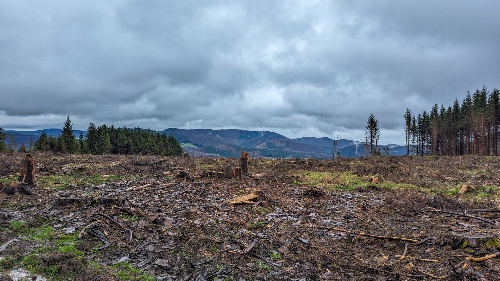
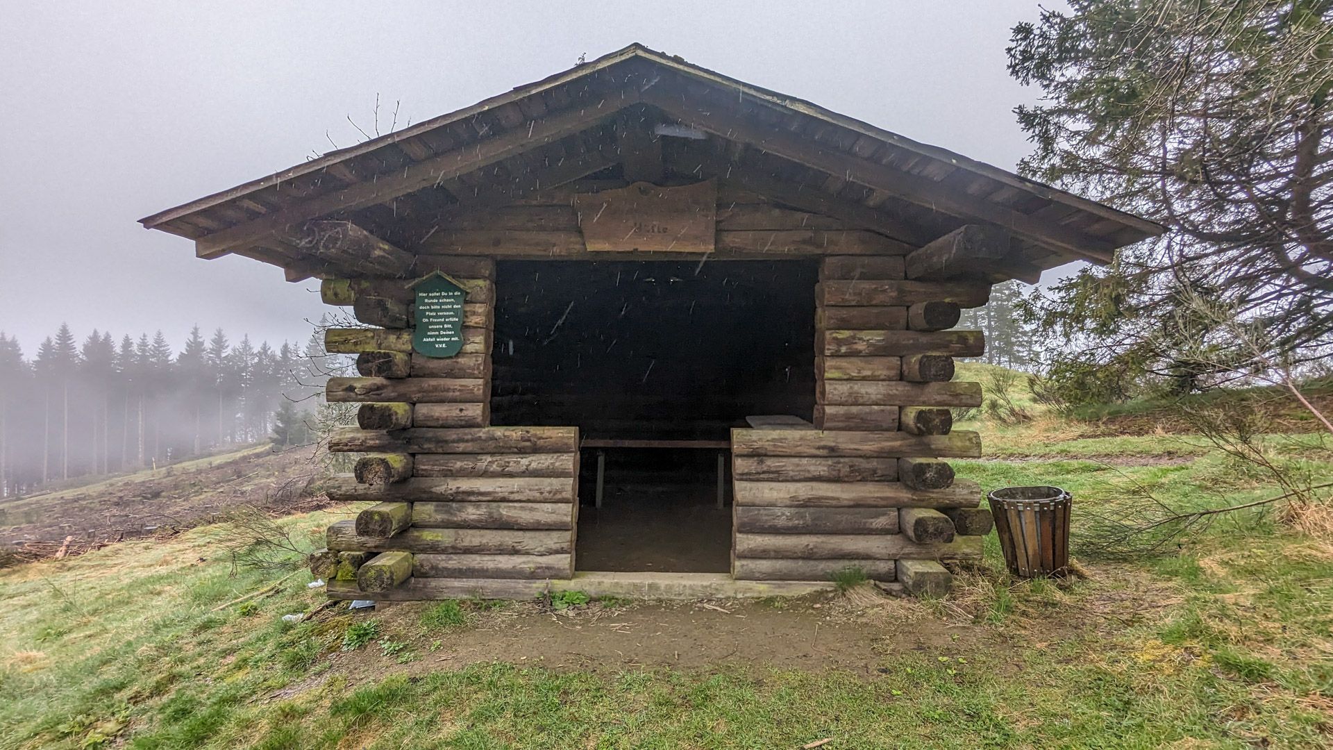
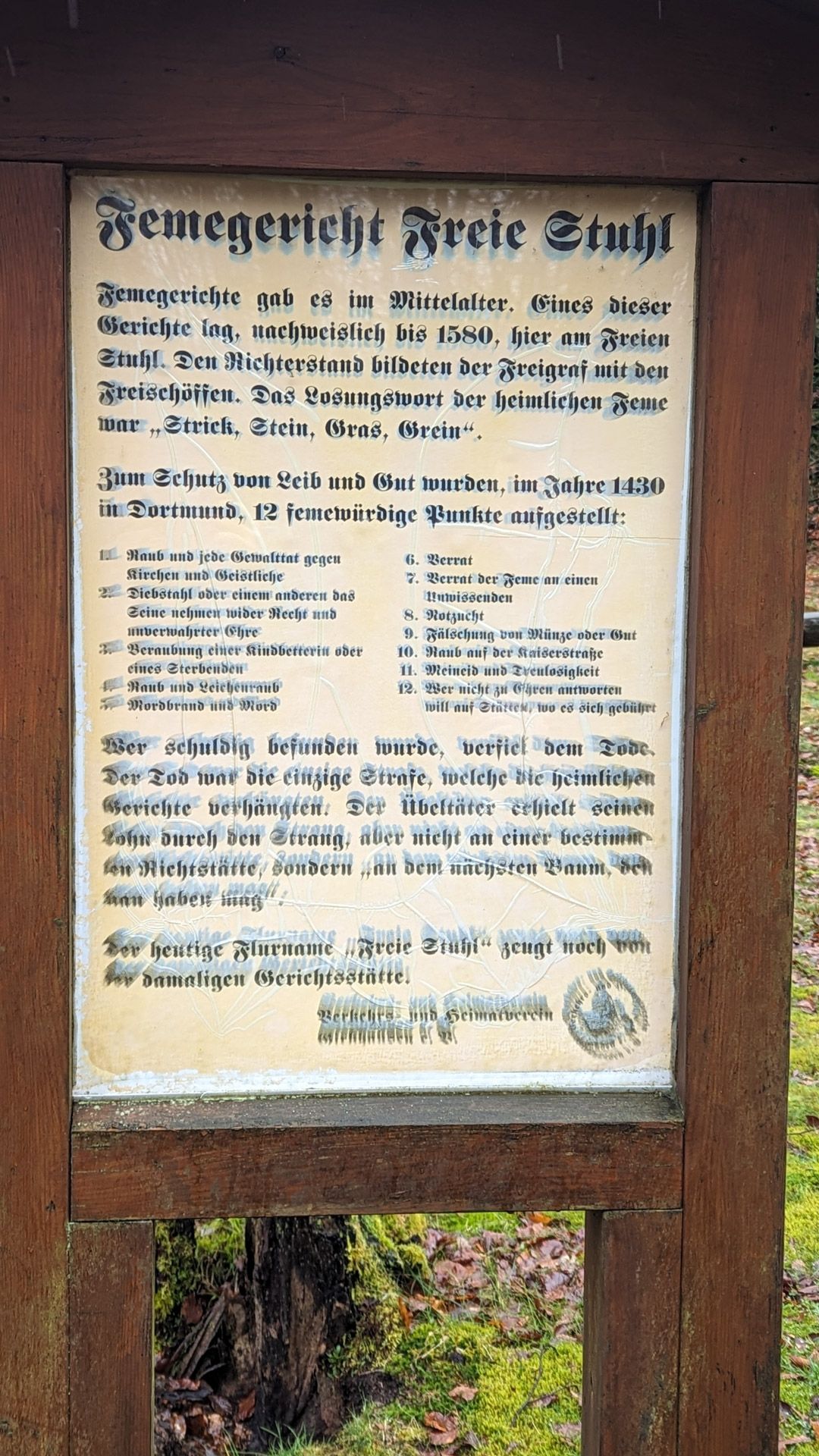
This was our longest stage at around 30 km. First of all, we had to pack everything up again and descend from the campsite to the actual route of the Winterberg Hochtour. Once we arrived at the Mollseifen barbecue hut, the short ascent to Mollseifen began. After Mollseifen, the route often follows the same paths as the Mythen and Legend Trail. Again and again you will find signs along the way with myths and legends of the region and pass places such as the “Bösen Holz” and the Femegericht Freier Stuhl. The view from the Ziegenhellenturm tower is particularly beautiful when the weather is a little clearer than here.

Shopping facilities in Züschen
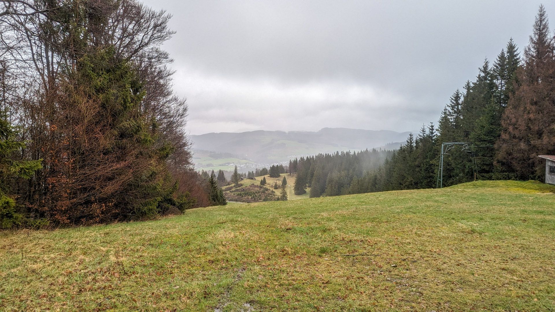
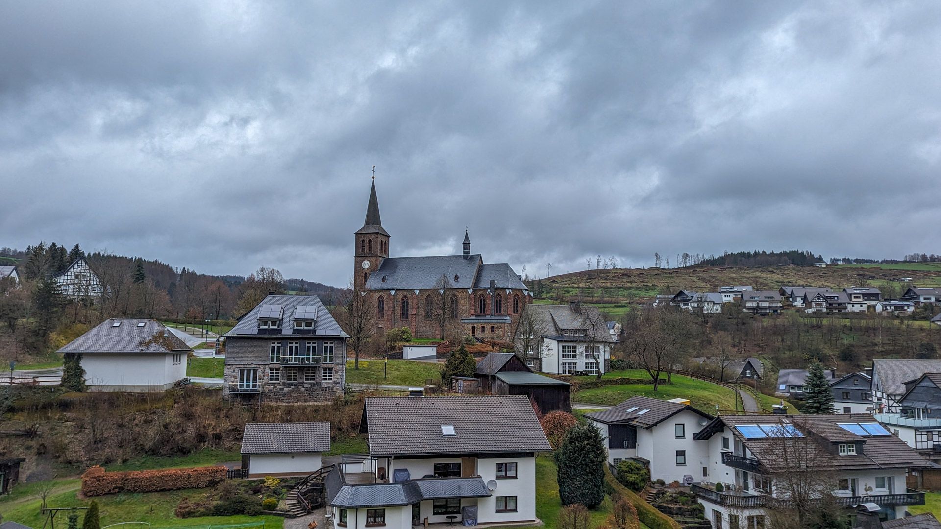
Shortly after the viewing tower, the descent begins through a ski area and ends in Züschen. In Züschen you will find a supermarket (not open all day) with a bakery and various restaurants as well as good connections to the bus network if you need to get back to Winterberg from here.
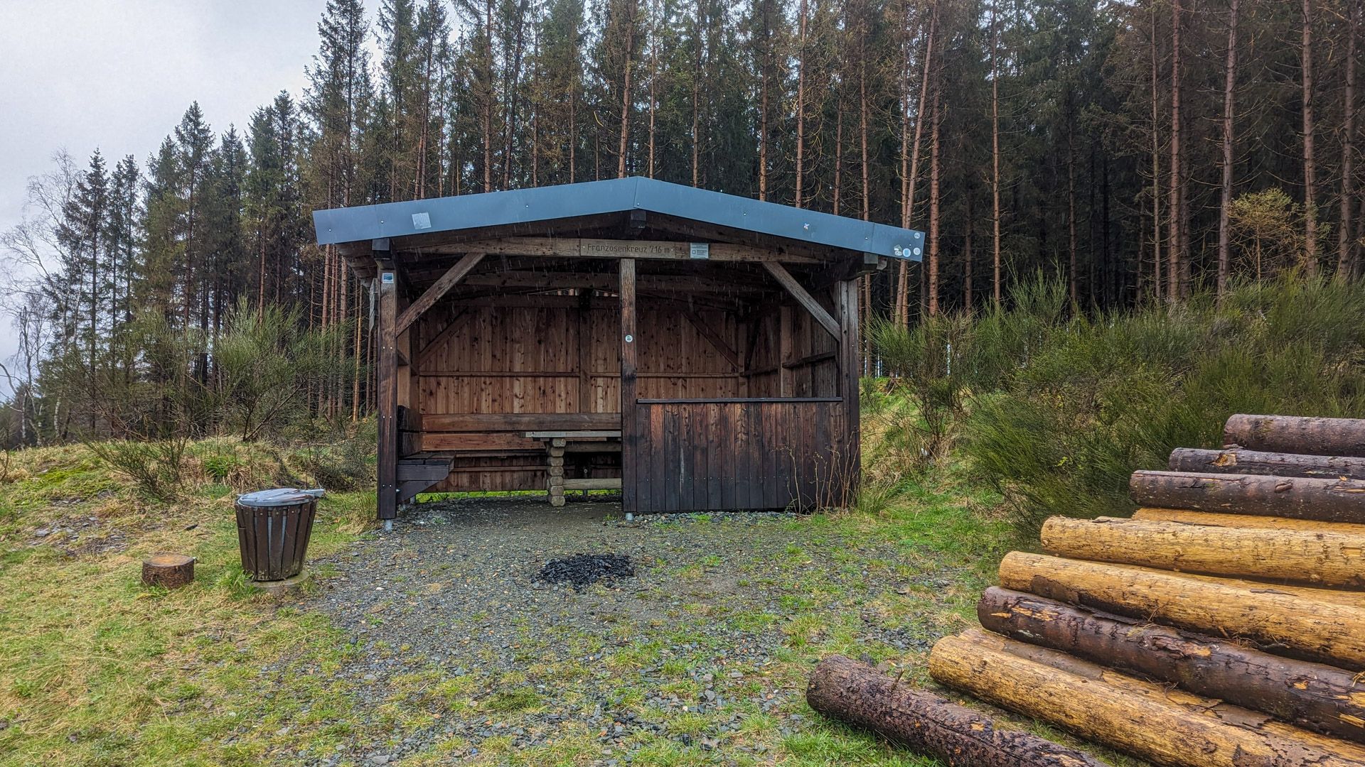
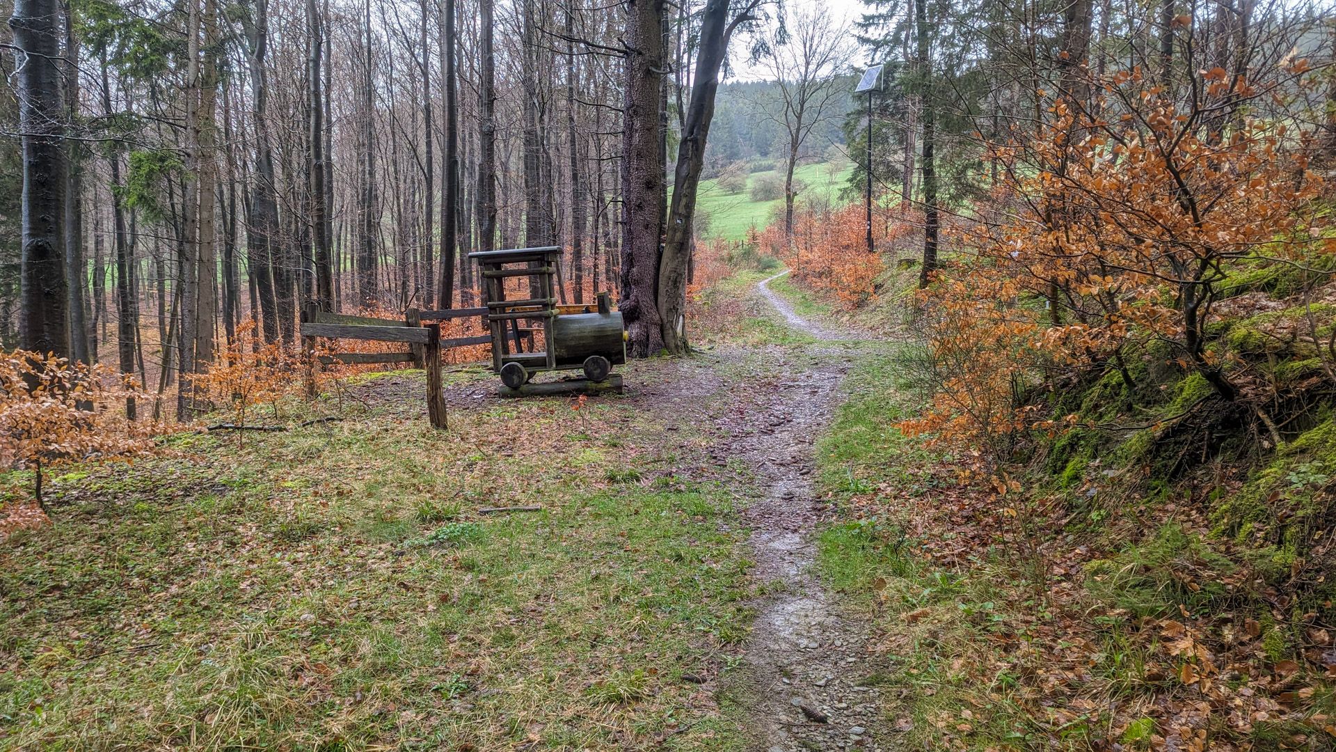
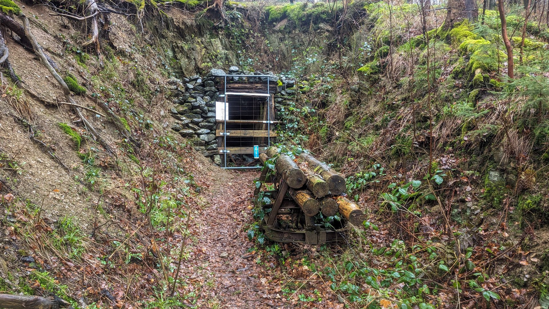
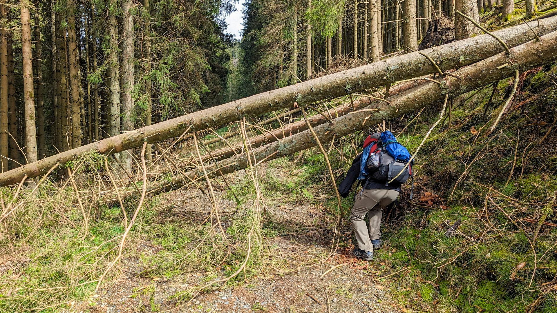
With full bags, the most strenuous part of the hike began here. We climbed several hundred meters from Züschen up to the Franzosenkreuz refuge, only to descend again shortly afterwards, walk 500 m through the valley and then climb again with the Bonifatius Kreuz Alte Grimme as our destination. The path leads past an old “Elend Colliery” tunnel, which I remember not only because of its name, but also because of the small wooden train parked right next to it.
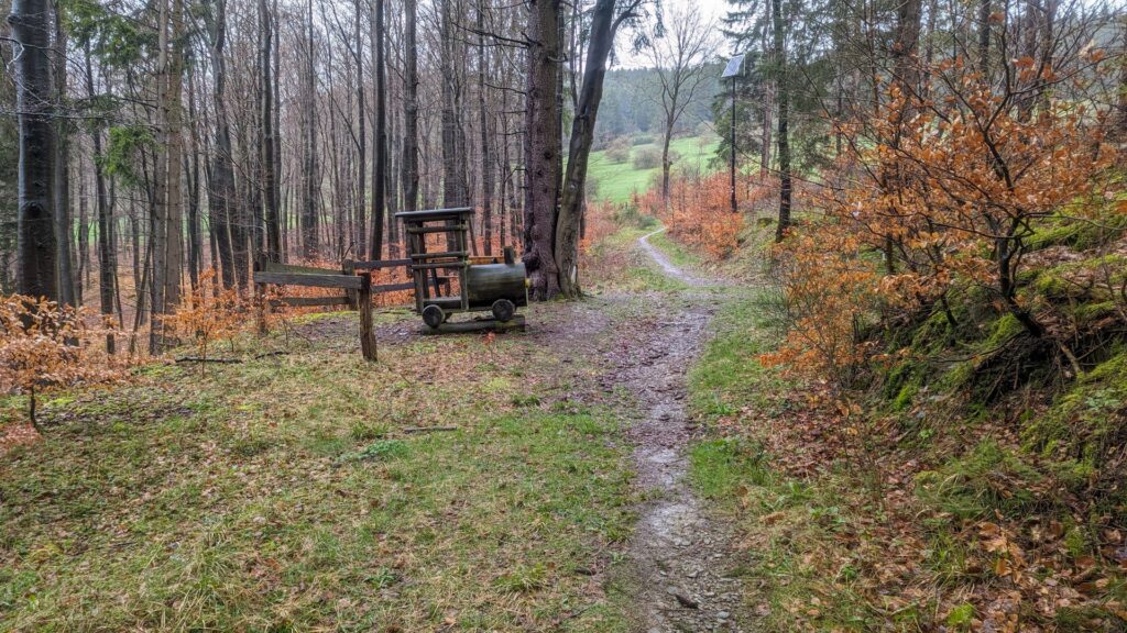
The steep ascent to the Bonifatius cross
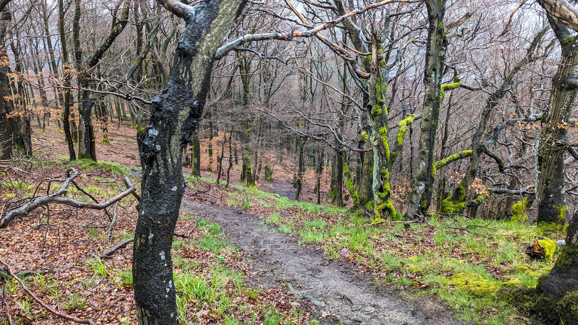
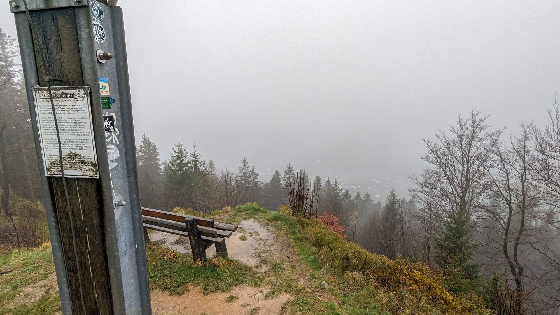
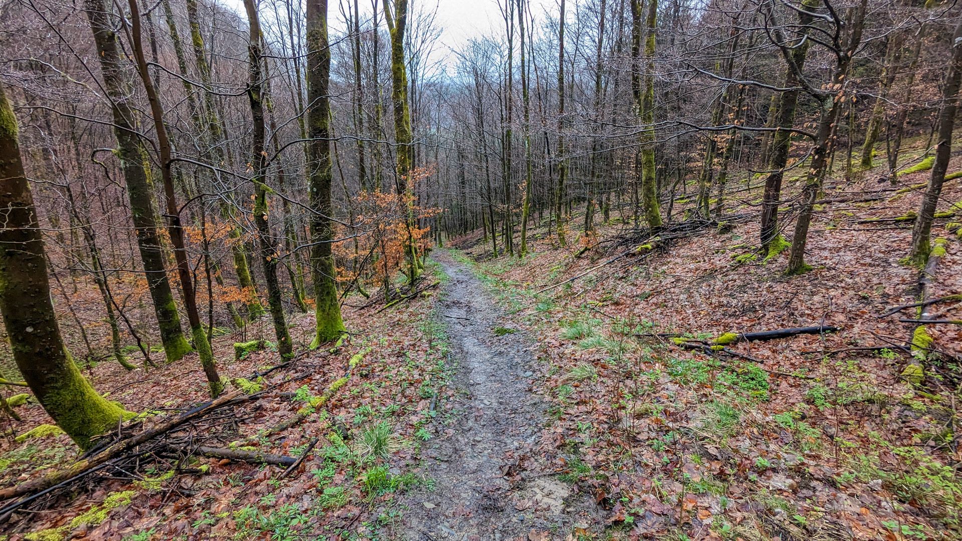
Until shortly before the last few meters to the Bonifatius Cross Old Grimme, I had the feeling that things wouldn’t be as bad as the elevation profile suggested. The elevation profile was right: the entrance to the last meter is partly secured with steel chains to hold on to and the path is very steep and muddy. This section is certainly more fun when the weather is nice, and if it’s very wet, there’s no shame in avoiding it. However, we had a lot of fun on the ascent, but also needed a break once we reached the top.
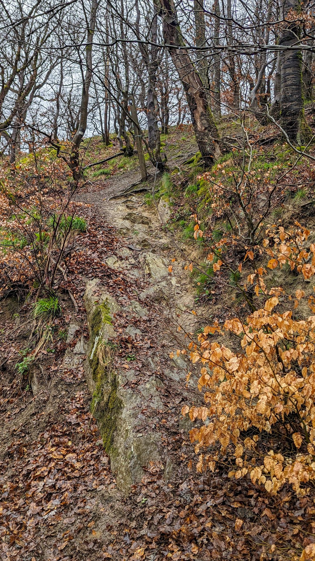
The ascent is secured with steel chains. 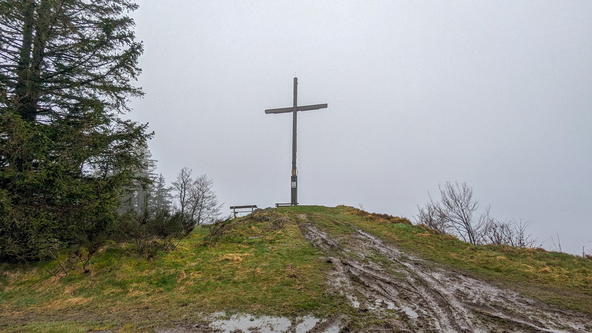
The Bonifatius Cross
From here on, it was all downhill to Elkeringhausen. But even here we had to be careful not to slip because of the mud. Fortunately, the descent into the Orketal valley went smoothly and we were looking forward to spending the night in the“Bed & Breakfast am Knittenberg“, which is right on the way, completely soaked. We had earned a hot shower.
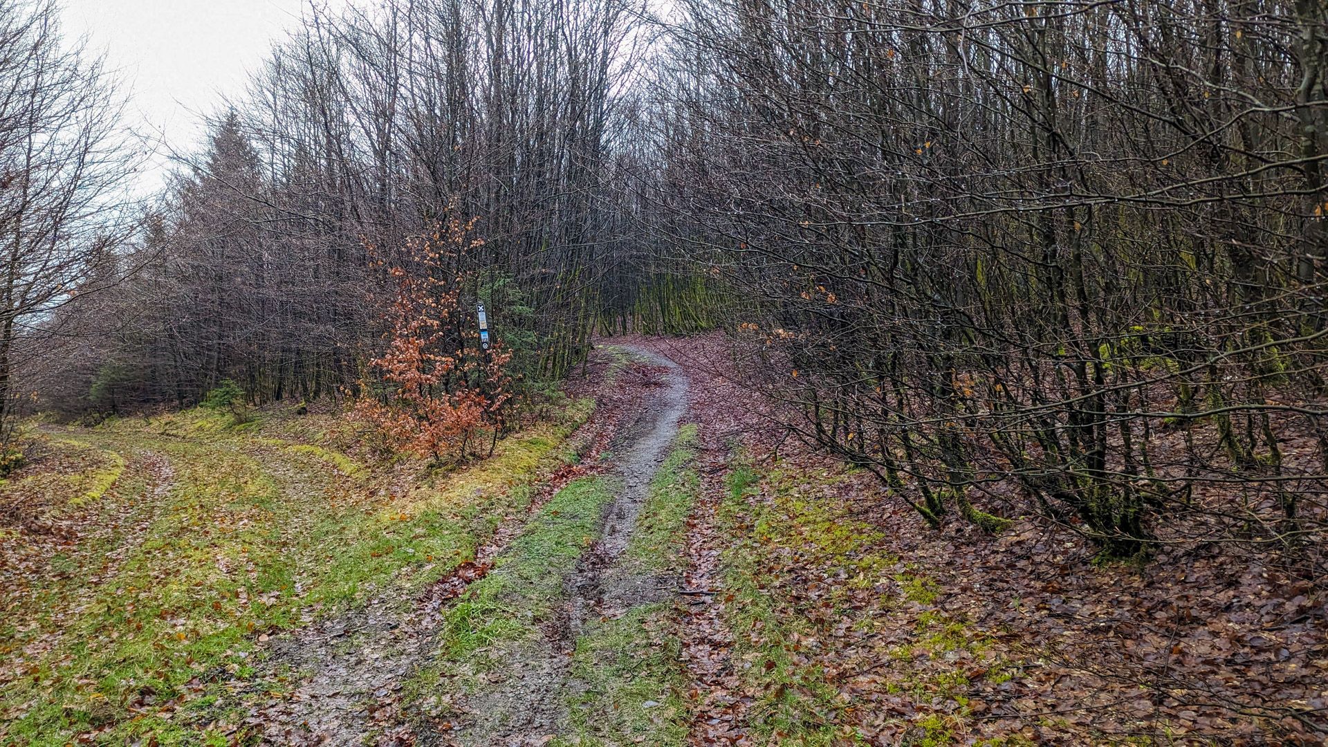
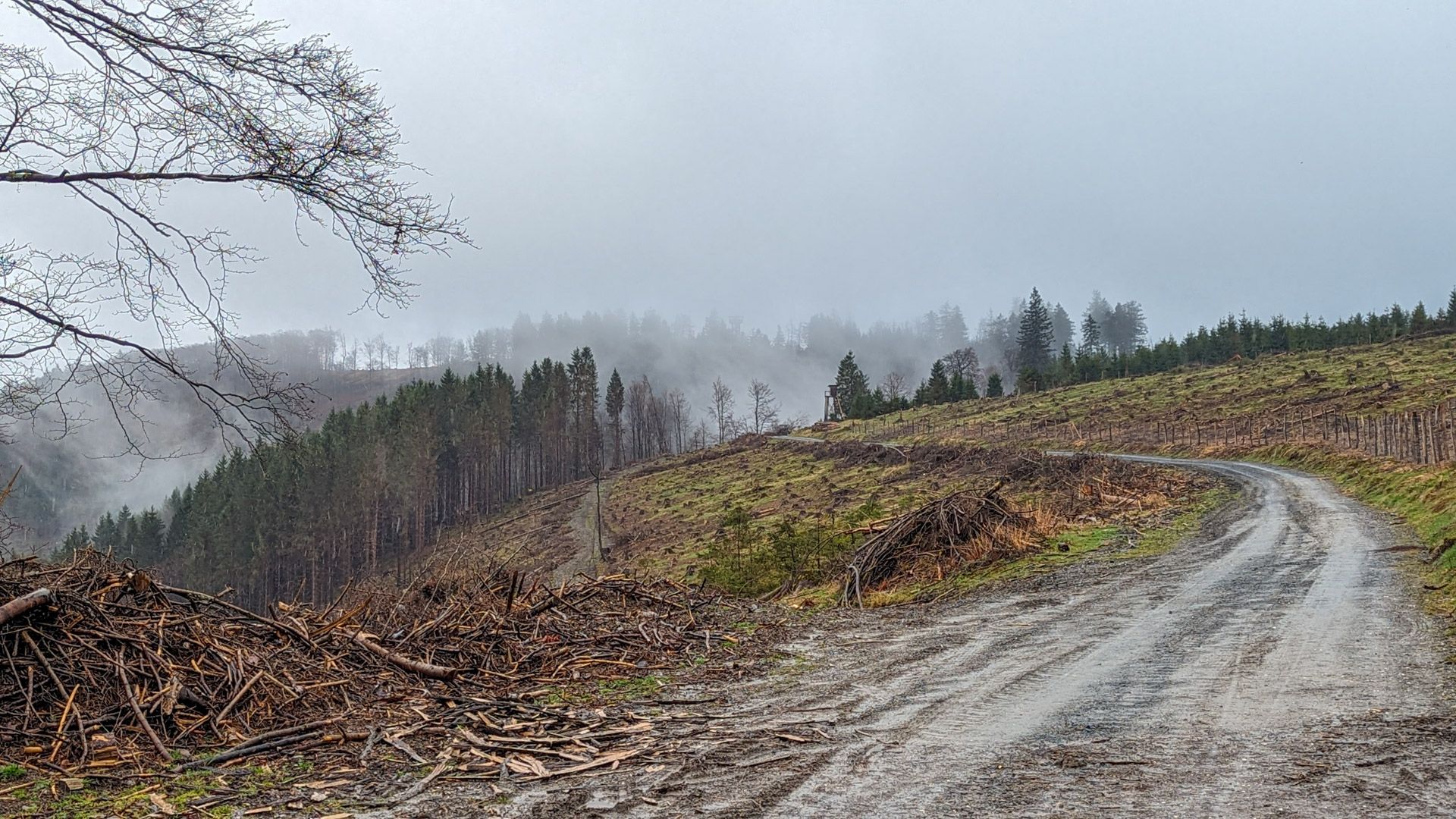
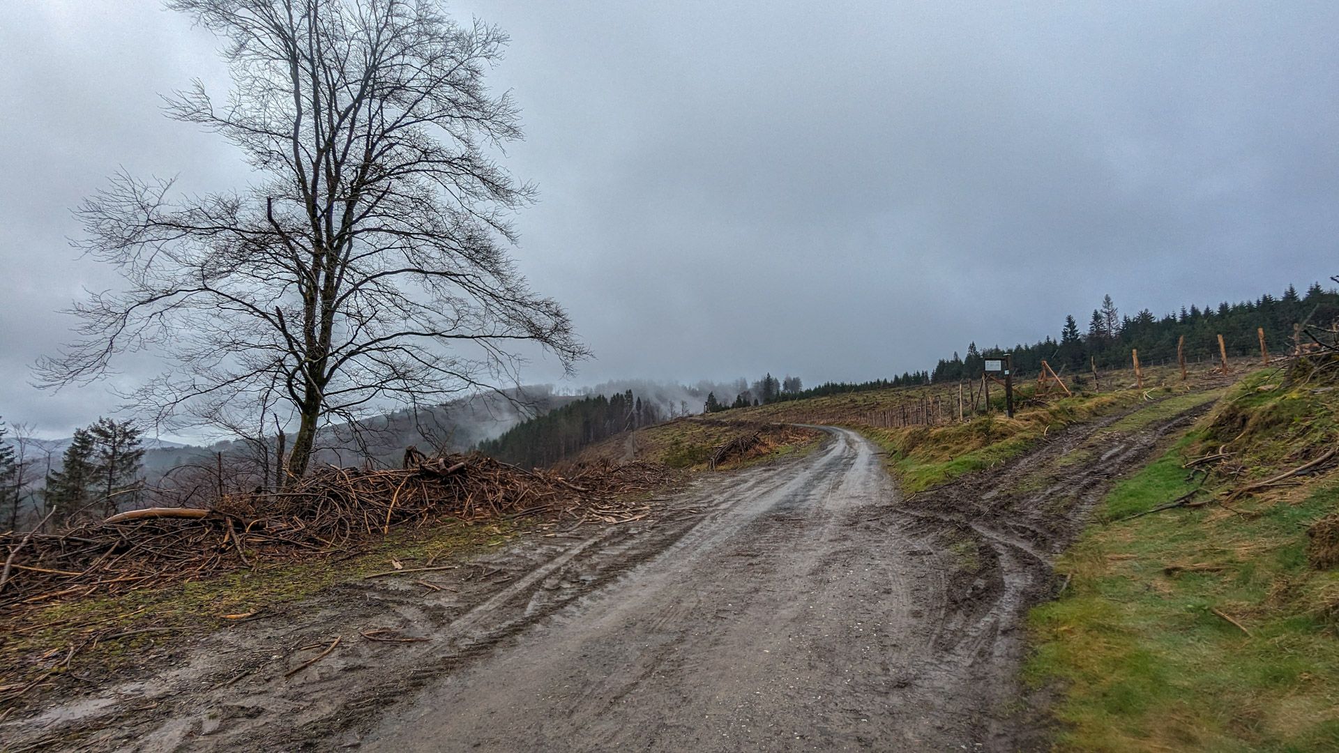
Pictures from the hike
More hikes
 Harz Mountains · Germany
Wildemann Hiking Pin – 23 km Circular Hike with 4 Stamp Points
23 km700 m elev. Harz Mountains · Germany
Between Eselsplatz and Kuckholzklippe – A Stamp Point Loop near Lerbach
14 km618 m elev. Harz Mountains · Germany
Ehemalige Steinmühle – Harzer Wandernadel Stamp Point 96
6 km222 m elev. Harz Mountains · Germany
Bad Lauterberg Circular Hike: Six Stamps, Plenty of Climbing
27 km1,261 m elev. Harz Mountains · Germany
The Shortest Route to the Hamburger Wappen
1.4 km69 m elev. Harz Mountains · Germany
Circular Hike from Clausthal-Zellerfeld to the Huttaler Widerwaage
12 km250 m elev.