
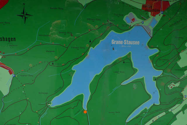
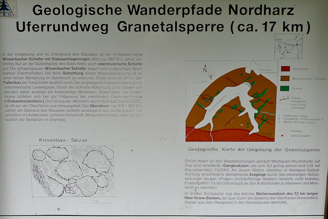
The circular hike around the Grane reservoir in the Harz is about 15 kilometres long. It follows wide forest tracks and forest roads, around 10 kilometres of which are surfaced. The route runs with only gentle gradients around the fjord-like arms of the reservoir. Several shelters along the way invite you to take a break, but there is nowhere to stop for food or drink on this route. The walk is no insider tip, and on fine weekends it gets fairly busy near the dam wall — the loop around the Grane reservoir is popular with mountain bikers too.
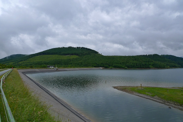
We start at the car park below the dam crest near Herzog-Juliushütte/Astfeld. After a short climb up to the crest we follow the loop clockwise, which first takes us across the dam itself.
The dam is 61 metres high and about 600 metres long, and the reservoir holds up to 46 million cubic metres of water. If you are interested in the journey from flood water to drinking water, there is an exhibition about it between the large car park and the dam crest, in the building behind the fountain.
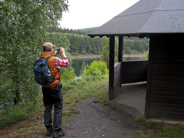
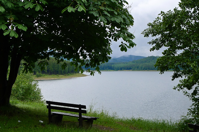
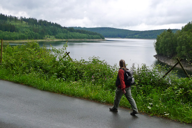
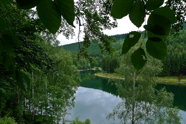
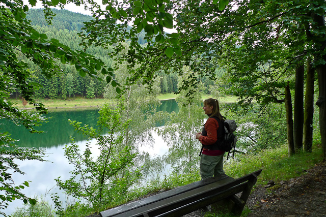
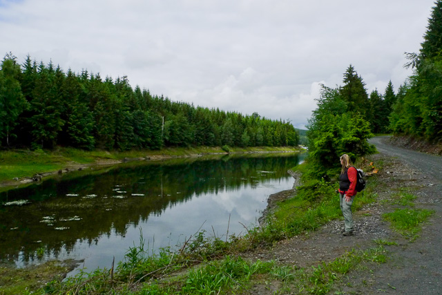
The path is wide and either gravelled or surfaced. It passes plenty of benches at viewpoints and several shelters, and follows the fjord-like shape of the water at a distance of some metres. Because this is a water protection area, going down to the shore of the reservoir is not permitted anywhere.
The hike gives lovely views across the reservoir and is very appealing. That said, the wide and largely surfaced track, and how busy it gets at weekends, will not be to everyone’s taste.
More hikes
 Harz Mountains · Germany
Wildemann Hiking Pin – 23 km Circular Hike with 4 Stamp Points
23 km700 m elev. Harz Mountains · Germany
Between Eselsplatz and Kuckholzklippe – A Stamp Point Loop near Lerbach
14 km618 m elev. Harz Mountains · Germany
Ehemalige Steinmühle – Harzer Wandernadel Stamp Point 96
6 km222 m elev.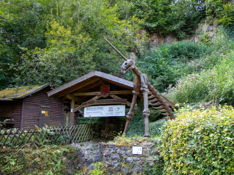 Harz Mountains · Germany
Bad Lauterberg Circular Hike: Six Stamps, Plenty of Climbing
27 km1,261 m elev.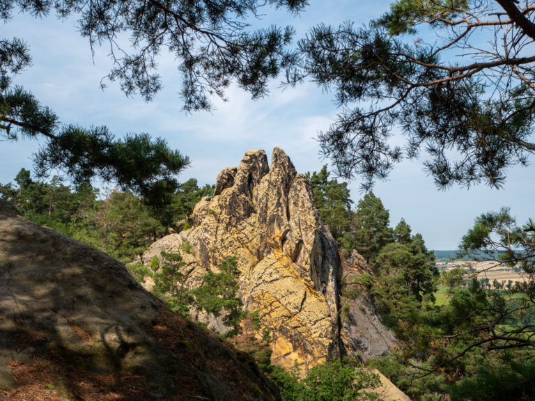 Harz Mountains · Germany
The Shortest Route to the Hamburger Wappen
1.4 km69 m elev. Harz Mountains · Germany
Circular Hike from Clausthal-Zellerfeld to the Huttaler Widerwaage
12 km250 m elev.