
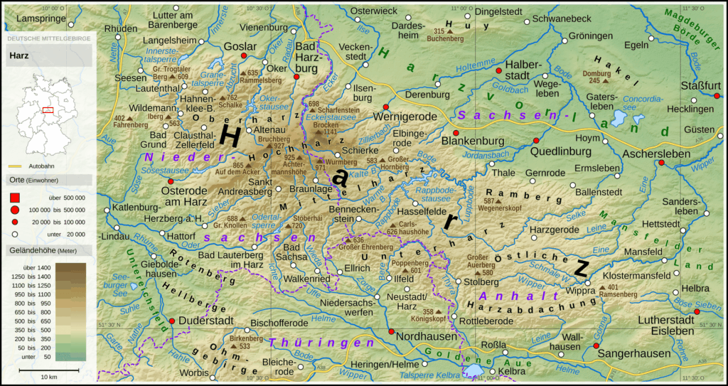
For a long time, hiking in the Harz Mountains was not easily accessible due to its history. Today, however, this charming mountain landscape is open to hiking enthusiasts from near and far. The Harz National Park, which has existed since 2006, is the first transnational national park in Germany and was created by merging the two existing national parks Harz (Lower Saxony) and Hochharz (Saxony-Anhalt). The Harz Mountains extend over a length of 110 km and a width of 30-40 km, covering a total area of 2,226 km². There are plenty of hiking trails in this extensive region, making it possible to explore the nature and landscape over a longer period of time.
The Brocken, the Harz and the GDR
The Brocken, with a height of 1,141 meters, is the highest peak in the Harz Mountains and offers a breathtaking panoramic view of the surrounding landscape. Due to its striking silhouette and its peak, which is often shrouded in mist, it is often described as a mystical place that has inspired sagas and legends for centuries. The Brocken is also known for its changeable weather and rugged, untouched nature, which fascinates hikers and nature lovers alike.
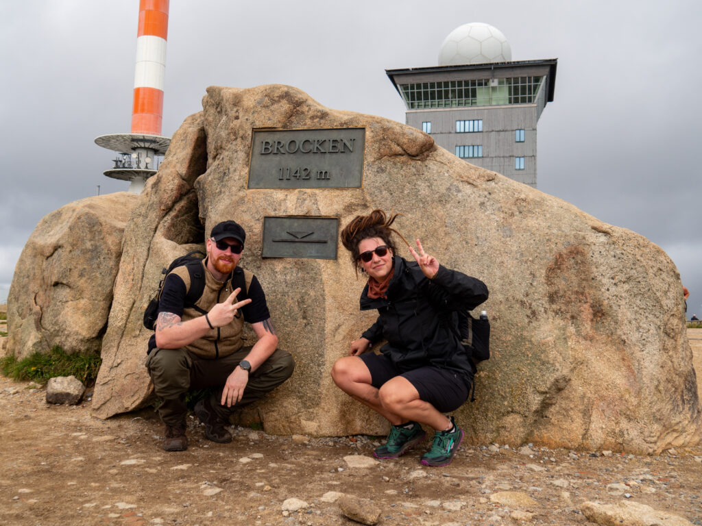
During the time of the German Democratic Republic (GDR), the Brocken was a symbol of political tension and surveillance. Due to its strategic location, the mountain served as an important site for monitoring the inner-German border. The GDR built a listening and espionage facility on the Brocken, known as “Brocken 1”. Military activities and communications in the West were intercepted and monitored from here. The history of the Brocken during the GDR era thus reflects the political conflicts and the Cold War that shaped Germany and Europe at that time. Nowadays, the Brocken is a popular destination for tourists and hikers
Long-distance hiking in the Harz Mountains
The Harz National Park is home to a variety of long-distance hiking trails that wind their way through the breathtaking landscape and attract hiking enthusiasts from all over the world. The most notable routes include the Harzer Hexenstieg, the Harzer Baudensteig, the Selketal-Stieg and the Karstwanderweg. These trails offer a varied hiking experience, ranging from dense forests and rocky peaks to picturesque valleys and clear streams. Of these routes, the Harzer-Hexenstieg is undoubtedly the best known. With a total length of around 100 km, it stretches across the Harz Mountains from west to east and offers hikers the opportunity to immerse themselves in the mystical atmosphere of the mountains. The route leads through dense forests, past idyllic lakes and along historic paths interwoven with the fascinating history and legends of the Harz.
Overnight accommodation in the Harz Mountains
I would generally advise against wild camping in the national park. However, there are plenty of guesthouses and hotels in the Harz Mountains to find accommodation during the hikes. If you would like to sleep in a tent, there are fewer options. If you overdo it on your hikes or need shelter from the weather, there are a large number of mountain huts in the Harz Mountains. Many people seek shelter in the huts on the edge of the Harz Witches’ Trail in particular.
All hikes in this region on the map
68 results on the map. Tap a point for details, a group to zoom in.
Hikes in this region
 Harz Mountains · Germany
Wildemann Hiking Pin – 23 km Circular Hike with 4 Stamp Points
23 km700 m elev. Harz Mountains · Germany
Between Eselsplatz and Kuckholzklippe – A Stamp Point Loop near Lerbach
14 km618 m elev. Harz Mountains · Germany
Ehemalige Steinmühle – Harzer Wandernadel Stamp Point 96
6 km222 m elev.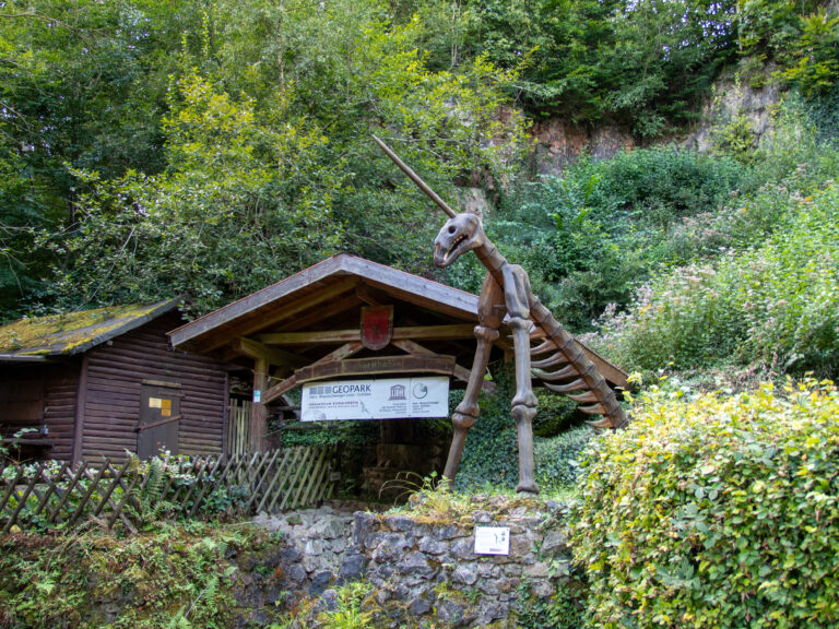 Harz Mountains · Germany
Bad Lauterberg Circular Hike: Six Stamps, Plenty of Climbing
27 km1,261 m elev.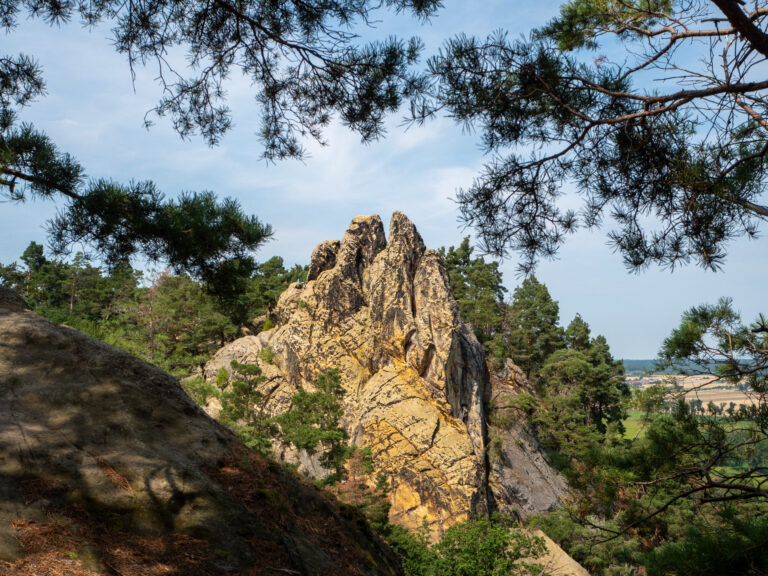 Harz Mountains · Germany
The Shortest Route to the Hamburger Wappen
1.4 km69 m elev. Harz Mountains · Germany
Circular Hike from Clausthal-Zellerfeld to the Huttaler Widerwaage
12 km250 m elev.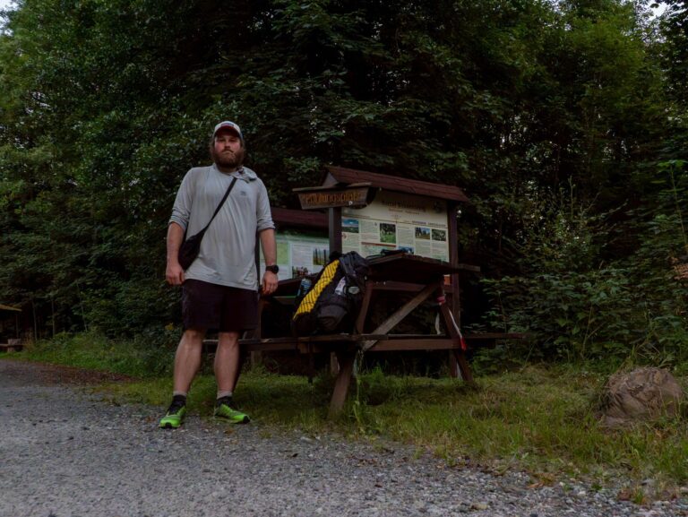 Harz Mountains · Germany
Harzer Försterstieg – Stage 2: Wolfshagen / Lageswarte – Riefensbeek-Kamschlacken
39 km814 m elev.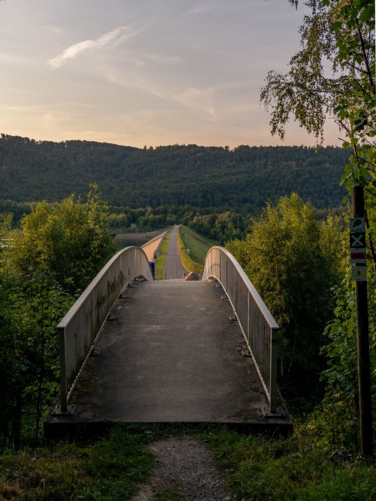 Harz Mountains · Germany
Harzer Försterstieg – Stage 1: Goslar – Wolfshagen / Lageswarte
22 km842 m elev.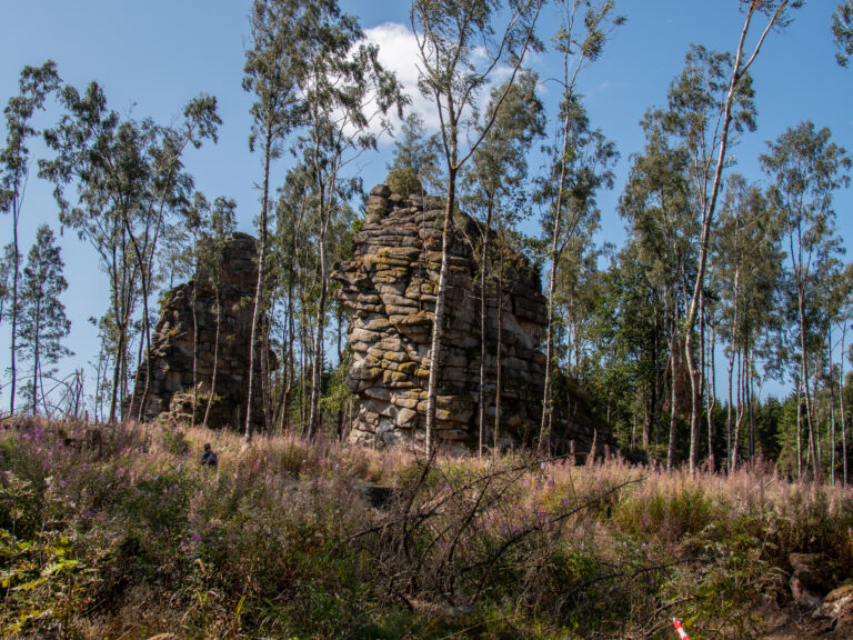 Harz Mountains · Germany
15 km stamp tour from Braunlage over the Wurmberg to the Schnarcherklippe
14.5 km630 m elev.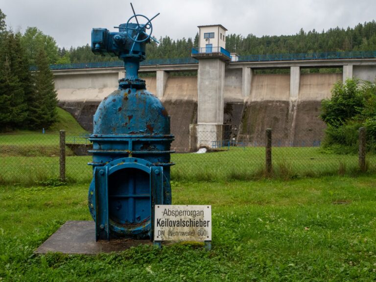 Harz Mountains · Germany
Hike around the Wippertalsperre dam
5.8 km92 m elev.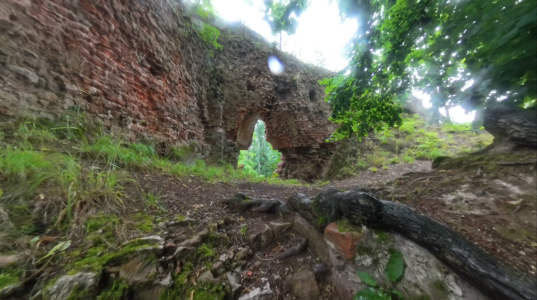 Harz Mountains · Germany
Hike to Grillenburg Castle in the southern Harz Mountains
1.6 km72 m elev.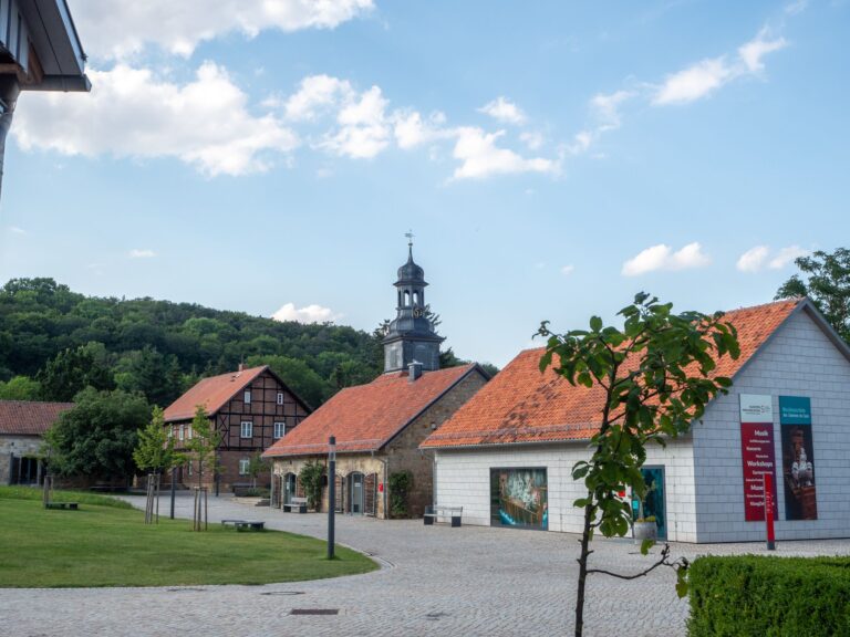 Harz Mountains · Germany
Explore Klostergrund Michaelstein and the surrounding lakes – stamp point 59
3 km60 m elev.
Show 56 more
- Themed hike “Man and forest”: From Hahnenklee to Goslar 9.6 km · 130 m elev.
- Wernigerode: 12 km Circular Hike with Four Harz Stamps 12 km · 452 m elev.
- More impressive than the Devil’s Wall? The Halberstadt Mountains 18 km · 567 m elev.
- Weltwald and the Iberg Albert Tower – Two Stamps from Bad Grund 6.5 km · 351 m elev.
- Circular hike near Rieder: To the Roseburg & the Gegensteine 10 km · 200 m elev.
- Harzer Teufelsmauerstieg: a hike in the northern Harz 25.7 km · 681 m elev.
- Circular hike to the Hohenstein ruins in the Harz Mountains – 6 stamps 26.4 km · 830 m elev.
- Circular hike with 5 stamps near Sophienhof in the Harz Mountains 13.6 km · 390 m elev.
- Oker Valley Tour: From Romkerhall to Engagement Island – 4 stamps 14.3 km · 513 m elev.
- Hidden beauty: the Heidberg nature reserve and its sandstone formations 10.5 km · 200 m elev.
- Stamp tour in the Harz Mountains: Glockenstein, Lauenburg and an autumnal forest idyll 8.3 km · 370 m elev.
- Walk to the Otto Ebert Bridge 0.5 km · 9 m elev.
- Sunset hike along the Devil’s Wall in Weddersleben 2.3 km · 81 m elev.
- 4 stamps Roundtrip from Riefensbeek-Kammschlacken 28 km · 800 m elev.
- Walk to the Altenburg 0.8 km · 47 m elev.
- Journey of discovery to mills, castle ruins and sandstone caves near Blankenburg 7 km · 317 m elev.
- Circular hike to the Elfenstein in Bad Harzburg – stamp point 120 3.6 km · 176 m elev.
- Circular walk in Blankenburg Grandfather Rock, Luisenburg Castle and the Baroque Gardens 3.7 km · 180 m elev.
- Circular hiking trail: Schalker Turm, Lochstein and Liebesbank 11.2 km · 328 m elev.
- Short but challenging hike in Wernigerode: Lustgarten, Agnesberg and Christianental 3.5 km · 180 m elev.
- Short hike near Benzingerode: Austbergturm and Stapenberg 6.6 km · 300 m elev.
- Evening walk to the Steinbergturm and the Granestausee 5.4 km · 208 m elev.
- Hike around Friedrichsbrunn: discovery tour to the stamp sites 22 km · 511 m elev.
- #HWN2024 – 16 stamps from Bad Sachsa multi-day tour 67 km · 2,335 m elev.
- Hike from Torfhaus to Thale – 130 km & 36 stamps 132 km · 3,653 m elev.
- Walk to the Sudmerberger Warte HWN 108 2.5 km · 100 m elev.
- #HWN2024 – 6 stamps between St. Andreasberg & Braunlage 25 km · 735 m elev.
- #HWN2024 – Hike from Ilsenburg to Goslar with 23 stamps 84 km · 2,648 m elev.
- #HWN2024 – 5 stamps between Tanne and Trautenstein 22.3 km · 480 m elev.
- #HWN2024 – 3 stamps around Walkenried 15 km · 285 m elev.
- #HWN2024 – 7 stamps around Bad Harzburg 25 km · 725 m elev.
- Harzer Klosterwanderweg – Section 2 – From Wöltingerode to Ilsenburg 20.3 km · 382 m elev.
- The Steinway Trail in the Harz Mountains – from Wolfshagen to Seesen 14.2 km · 402 m elev.
- Harzer Klosterwanderweg – Section 1 – From Goslar to Wöltingerode (Vienenburg) 13 km · 153 m elev.
- Round Trip from Auerhahn with 3 stamp points (HWN 124, 125, 126) 14.2 km · 494 m elev.
- Hike from Blankenburg to the Hamburger Wappen 7.5 km · 300 m elev.
- Hiking from Lautenthal to the Gumbach pond 14.6 km · 355 m elev.
- Hiking around the large Sülteberg 4.5 km · 95 m elev.
- Hiking around the small Sülteberg 2.5 km · 70 m elev.
- Spur der Steine – Hike around the Diabas quarry in Wolfshagen in the Harz Mountains – HWN 109 4 km · 85 m elev.
- Hike to the Brocken on the Eckerlochstieg 12 km · 550 m elev.
- 11 Stamps from Ilsenburg 31 km · 960 m elev.
- Drei Annen Hohne – Leistenklippen 12 km · 530 m elev.
- Around the Erdbeerkopf 8 km · 250 m elev.
- From Oderbrück to the Achtermann 7 km · 185 m elev.
- The Liebesbankweg 6.3 km · 144 m elev.
- Day Hike from the Oker Valley to the Kästeklippen 10 km · 450 m elev.
- 2-Day Hike from Goslar to Altenau 36.5 km · 380 m elev.
- From Bad Harzburg via the Ecker Valley 22.7 km · 700 m elev.
- Snowshoeing on the Hexenstieg near Altenau 10 km · 167 m elev.
- From Ilsenburg to the Zeterklippen 24 km · 737 m elev.
- Hiking Around the Grane Reservoir – 15 km in the Harz 15 km · 194 m elev.
- From the Oker Valley to the Kästeklippen – 10 km in the Harz 10 km · 431 m elev.
- Above the Innerste Reservoir 15 km · 318 m elev.
- Ilsenburg to the Froschfelsen – 10 km in the Harz 10 km · 281 m elev.
- Hiking the Bode Gorge: Thale to Treseburg in the Harz 19 km
Thru-hikes in this region
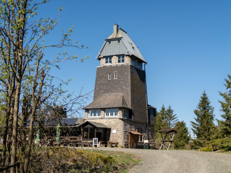 Harz Mountains · Germany
Harz Baudenstieg: Tips & Insights for Your Hike
95 km3,100 m elev.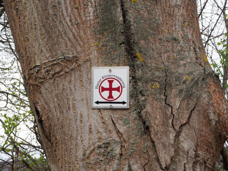 Harz Mountains · Germany
The Harzer Klosterwanderweg – from Goslar to Halberstadt
116 km534 m elev. Harz Mountains · Germany
Harz Forester’s Trail – Hiking from Riefensbeek-Kamschlacken to Goslar
60 km1,898 m elev.- Harz Mountains · Germany
Harz Witches’ Trail – Hiking from Osterode to Thale
100 km