
The second stage of the Harzer Försterstieg (Harz Forester’s Trail) starts either in Wolfshagen or at the Lageswarte, depending on where you finished the first stage. If you start in Wolfshagen, you have a good deal more distance ahead of you, while the Lageswarte, as a viewpoint and stamp point, is an ideal starting base for the stage.
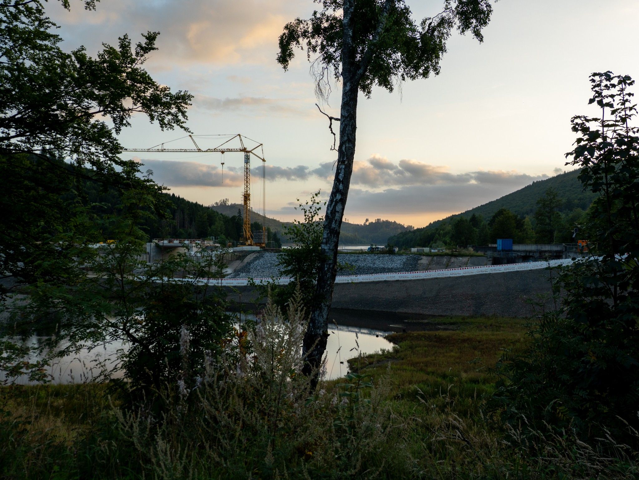
The trail first passes the “Steile Wiese” shelter and continues on forest paths, some of them demanding, towards the Innerste reservoir. From here begins the section through the Harz forests that is particularly scenic but also challenging.
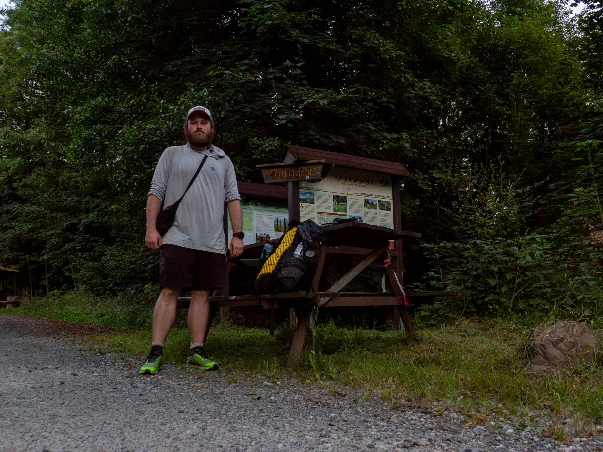
I personally hiked the full distance from the Lageswarte to Riefensbeek-Kamschlacken, around 40 km, in one go. For most hikers, however, it is advisable to shorten the stage and look out for accommodation or camping options along the way in Buntenbock, Lerbach, Clausthal-Zellerfeld or Bad Grund. That keeps the hike enjoyable and easy to plan.
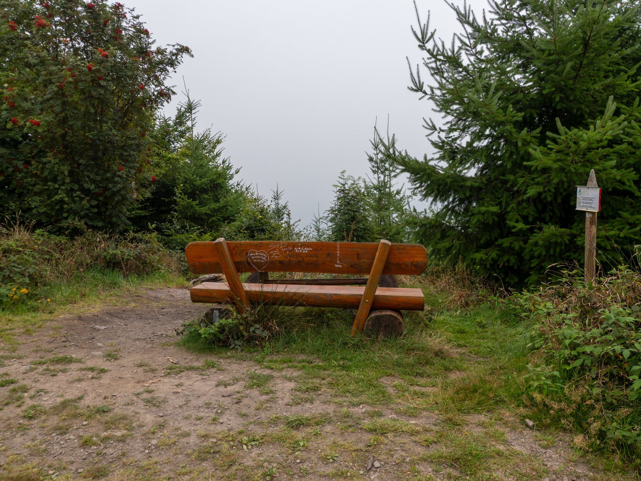
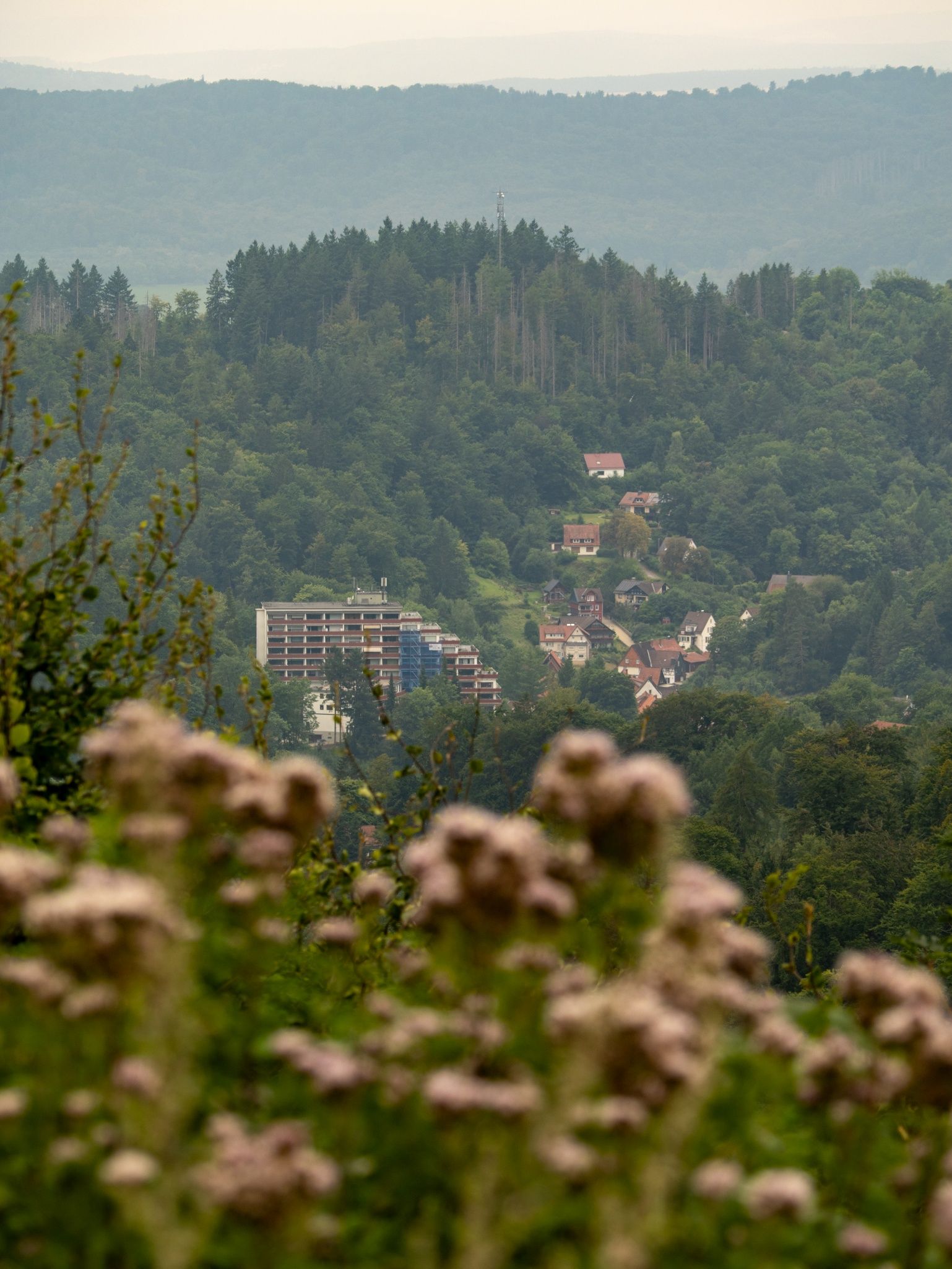
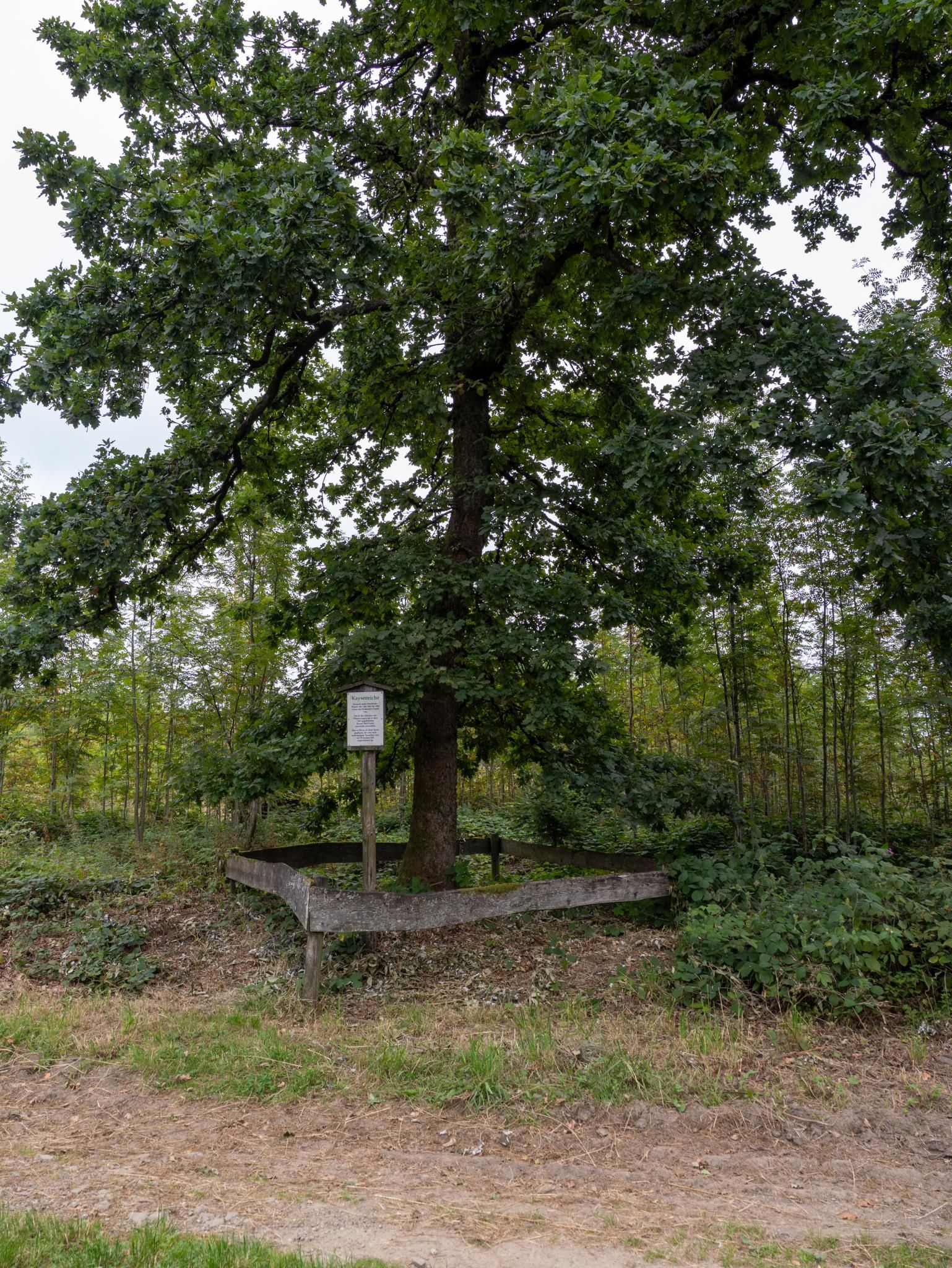
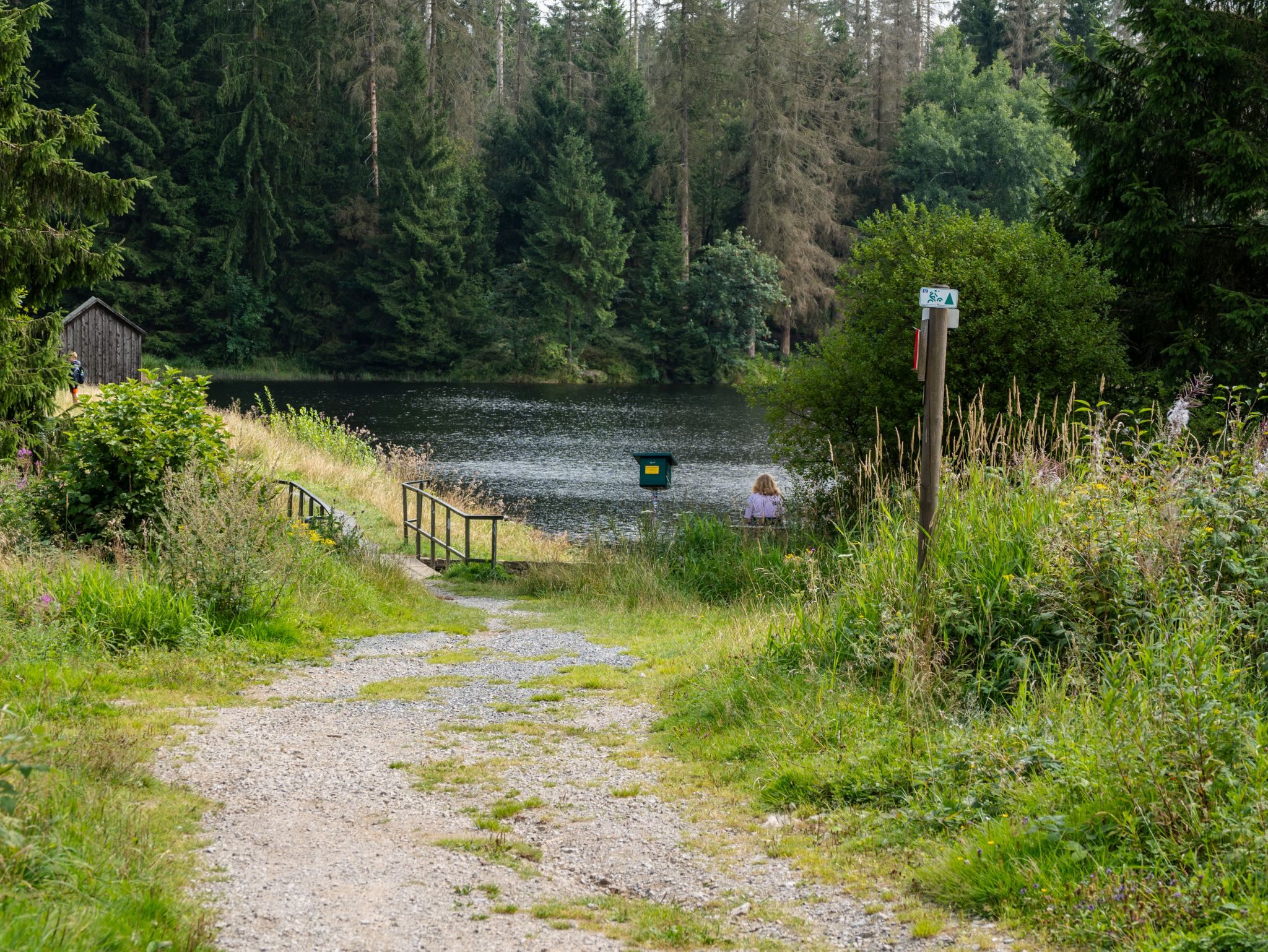
Numerous highlights await you along the route: idyllic ponds, viewpoints, historic places such as the Luchsstein, and quiet stretches of forest that make the Harzer Försterstieg a varied hike close to nature. If you have a little more time, you can take a short break at the Sösetal pre-dam – but note that official alternative routes are not always signposted.


More hikes
 Harz Mountains · Germany
Wildemann Hiking Pin – 23 km Circular Hike with 4 Stamp Points
23 km700 m elev. Harz Mountains · Germany
Between Eselsplatz and Kuckholzklippe – A Stamp Point Loop near Lerbach
14 km618 m elev. Harz Mountains · Germany
Ehemalige Steinmühle – Harzer Wandernadel Stamp Point 96
6 km222 m elev. Harz Mountains · Germany
Bad Lauterberg Circular Hike: Six Stamps, Plenty of Climbing
27 km1,261 m elev. Harz Mountains · Germany
The Shortest Route to the Hamburger Wappen
1.4 km69 m elev. Harz Mountains · Germany
Circular Hike from Clausthal-Zellerfeld to the Huttaler Widerwaage
12 km250 m elev.