As a young boy, the large Sülteberg with its 318 meters of altitude was something like my playground, or rather, my grandparents’ extended garden. I was allowed to run around here, or we walked along part of this path to the now unfortunately closed Waldschänke. According to the Harzklub Wolfshagen, this is also the starting point for the walk around the large Sülteberg. You can park your car there, and those arriving by public transport can do so by bus or train. However, you should add 2-3 km to the distance from the train station.
The trail is well signposted and runs along well-maintained paths. The hike can easily be combined with a walk around the small Sülteberg.
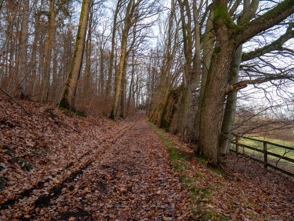
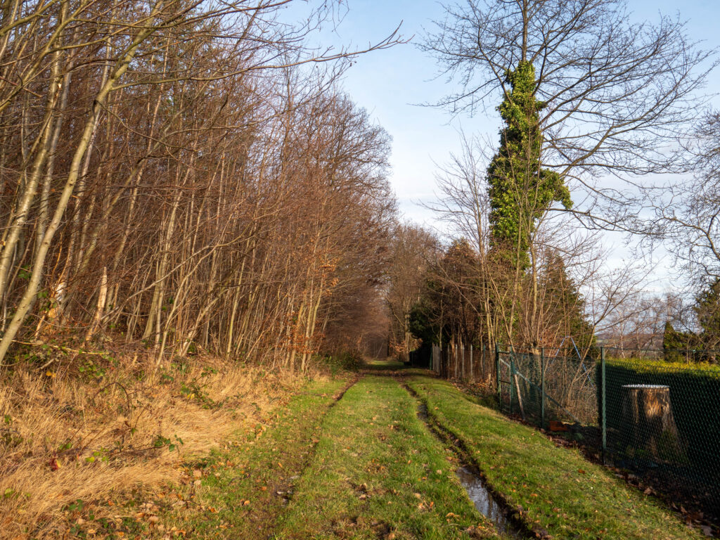
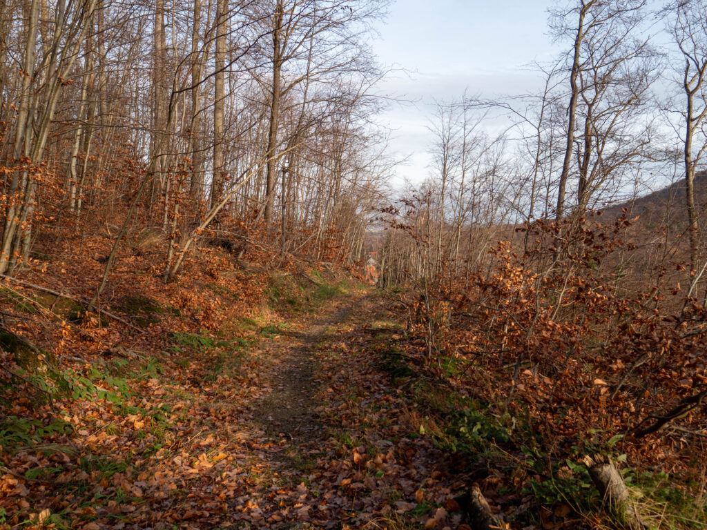
Pictures from the hike around the large Sülteberg

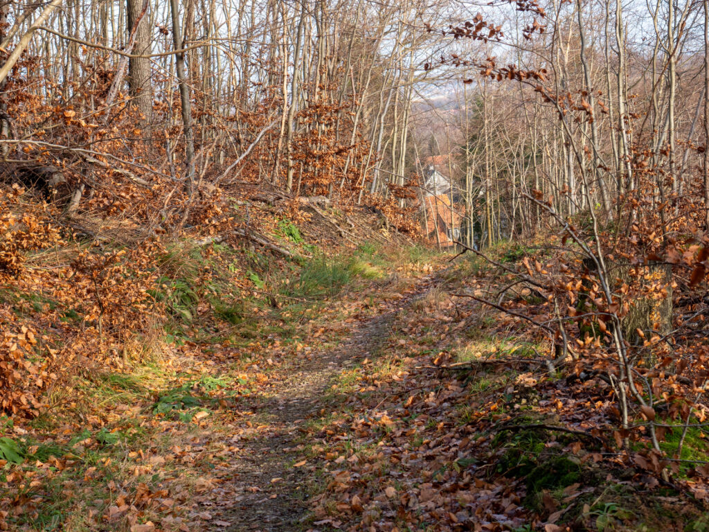
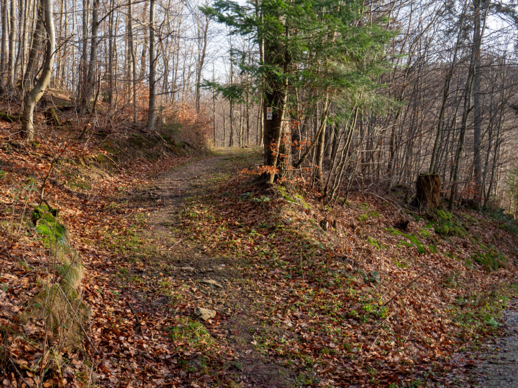
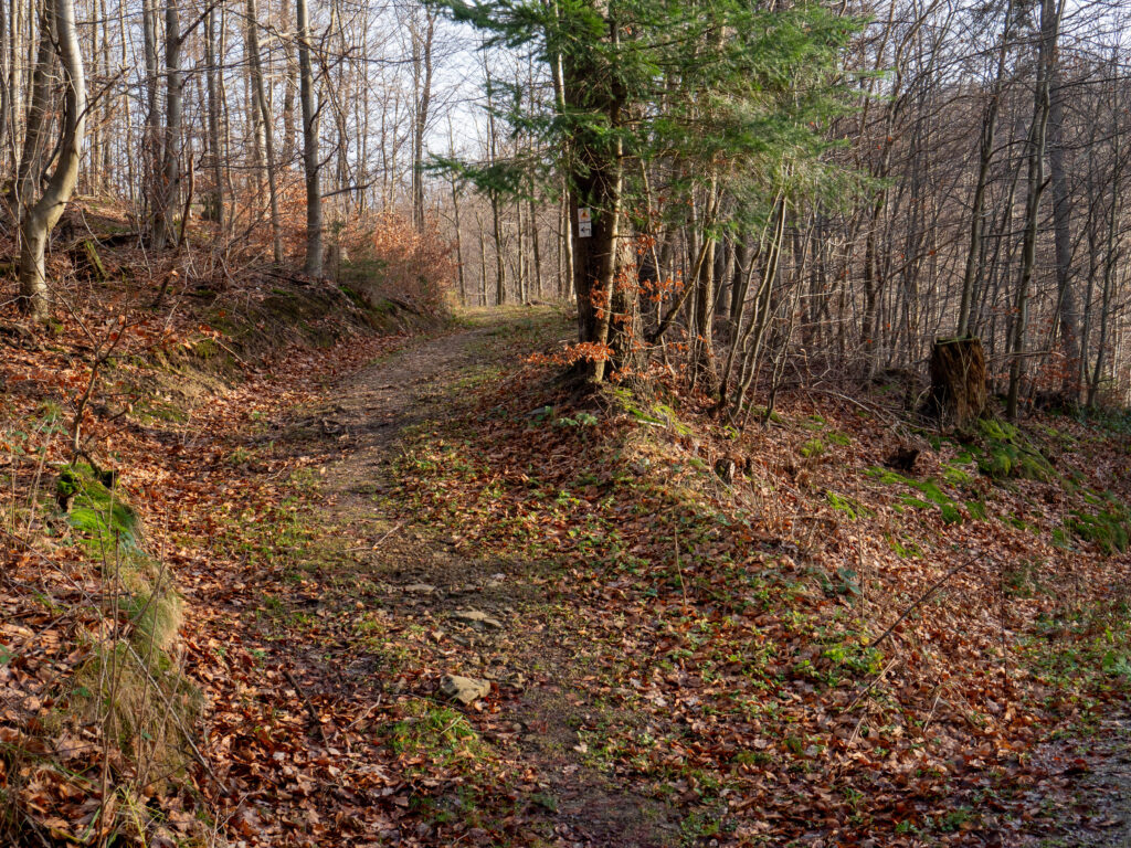
Map and GPX data from the hike around the Großer Sülteberg
The hike around the small Sülteberg and many other hiking trails around Wolfshagen are maintained by the Harzklub Wolfshagen. This only works with voluntary helpers and financial means. If you would like to give something back, please visit the homepage of the Harzklub Wolfshagen: https://www.harzklub-wolfshagen.de
More hikes
 Harz Mountains · Germany
Wildemann Hiking Pin – 23 km Circular Hike with 4 Stamp Points
23 km700 m elev. Harz Mountains · Germany
Between Eselsplatz and Kuckholzklippe – A Stamp Point Loop near Lerbach
14 km618 m elev. Harz Mountains · Germany
Ehemalige Steinmühle – Harzer Wandernadel Stamp Point 96
6 km222 m elev. Harz Mountains · Germany
Bad Lauterberg Circular Hike: Six Stamps, Plenty of Climbing
27 km1,261 m elev. Harz Mountains · Germany
The Shortest Route to the Hamburger Wappen
1.4 km69 m elev. Harz Mountains · Germany
Circular Hike from Clausthal-Zellerfeld to the Huttaler Widerwaage
12 km250 m elev.